The above is an image map, use it to navigate the site. Best viewed at 1280 x 1024 using any browser.
Achanalt Power Station
OS Grid Ref: NH 30875 61973 Not every Scottish hydro station is large, even by Scottish standards...
Achanalt is a tiny run-off-river station - part of the Conon Scheme, situated
very close to Grudie Bridge power station. It consists of a wier across
the River Bran, an intake gatehouse, a short (200M) headrace tunnel, and
a small (3MW capacity / 20M head) power station nestled into the gorge
at the Falls of Bran: Illustration by: Canmap, additional legend Mike Ross Achanalt wier is a modest structure, but forms a graceful curve, locally
known as the 'Horseshoe Falls' for obvious reasons: Photo by: Mike Ross A small intake gatehouse stands immediately next to the wier, on the North
bank: Photo by: Mike Ross Proceeding to the far end of the above gatehouse, past the red/white striped
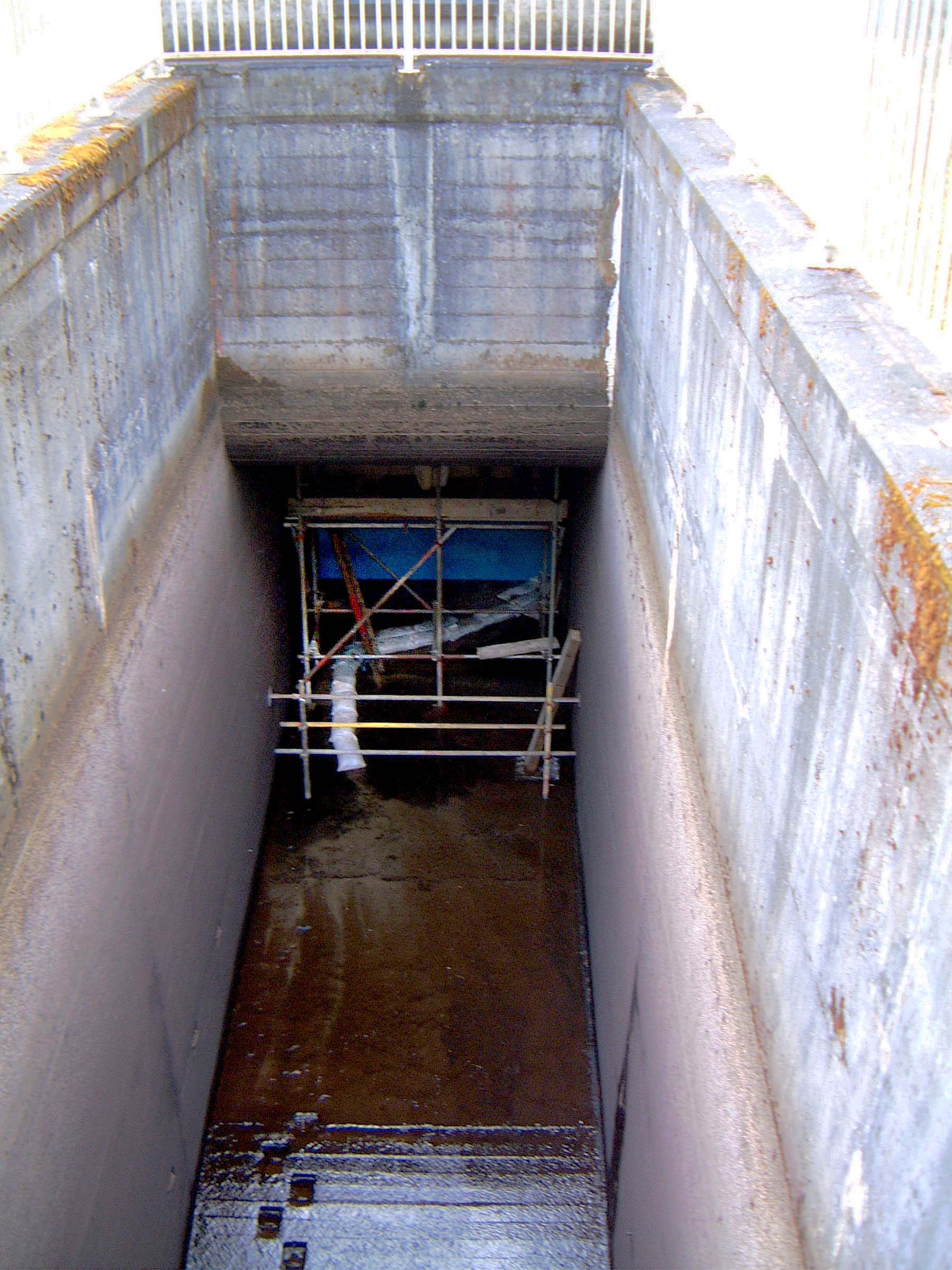
tape, a deep pit is revealed. This is normally full of water of course,
but on this occasion it was dewatered for maintenance. Looking upstream
- back towards the gatehouse - we can see the scaffolding around the (closed
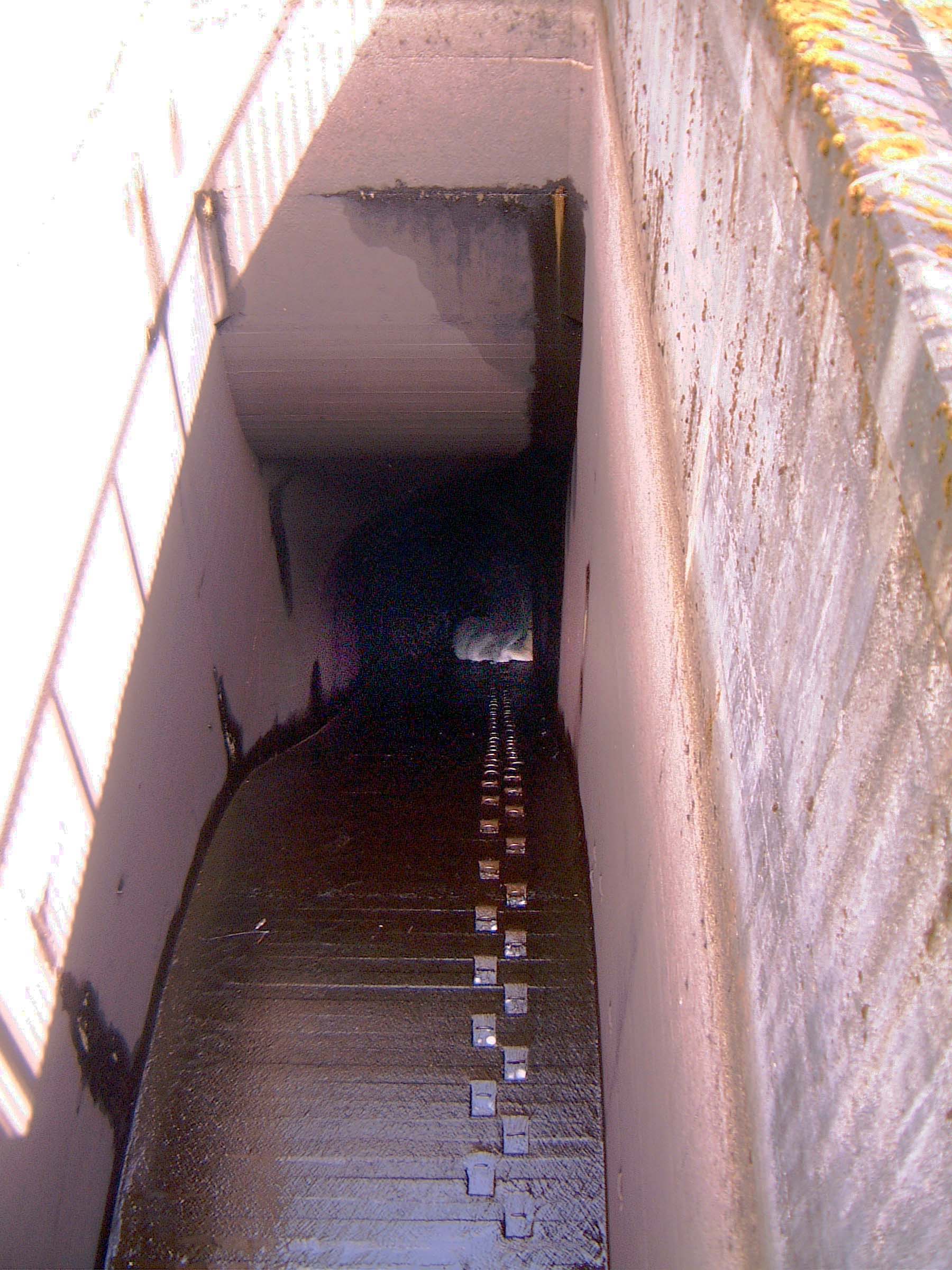
gate): Photo by: Mike Ross Turning round and looking down the downstream end of the pit, we can see
the short slope shaft which takes the water down to the tunnel, the mouth
of which is just discernable at the bottom of the shaft (which features
helpful climbing steps!): Photo by: Mike Ross Achanalt power station is the usual Hydro Board construction, substantial
stone, and wood doors. Hides out of view from the road, down by the falls
of Bran. The tunnel takes the water into the rear of the power station
(which is built up hard against the rock), and discharged back into the
River Bran: Photo by: Mike Ross I haven't been inside Achanalt since I was a boy, but it hasn't changed
much from what I can see through the window: Photo by: Mike Ross Home Page Last updated 15th November 2005 Style © 1998-2001 Subterranea Britannica Words and images © 2005 Michael J. Ross
|