This imagemap is the Corestore navigation tool

Mike - personal pages Diana - personal pages Iain - personal pages Sandy - personal pages The Corestore - computers ancient and modern Back to Corestore home page My adventures with gas turbines Some of my favourite British scrapyards Subterranea Scotia - Scotland underground Photo albums - family and friends The works of the North of Scotland Hydro-Electric Board This imagemap is the Corestore navigation tool

The above is an image map, use it to navigate the site. Best viewed at 1280 x 1024 using any browser.

Site Records

Subterranea Scotia

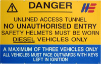
Clachan Power Station - Inclined railway

Clachan Power Station sign


The surge pond and adit were highly active construction sites when the scheme was being built. Since it was impractical to build a road up the steep hillside above the power station, an inclined cable-haulage railway was built to service the area. The remains are still visible, most prominently from across the loch:

Clachan inclined railway - distant view

Photo: Clachan inclined railway - distant view
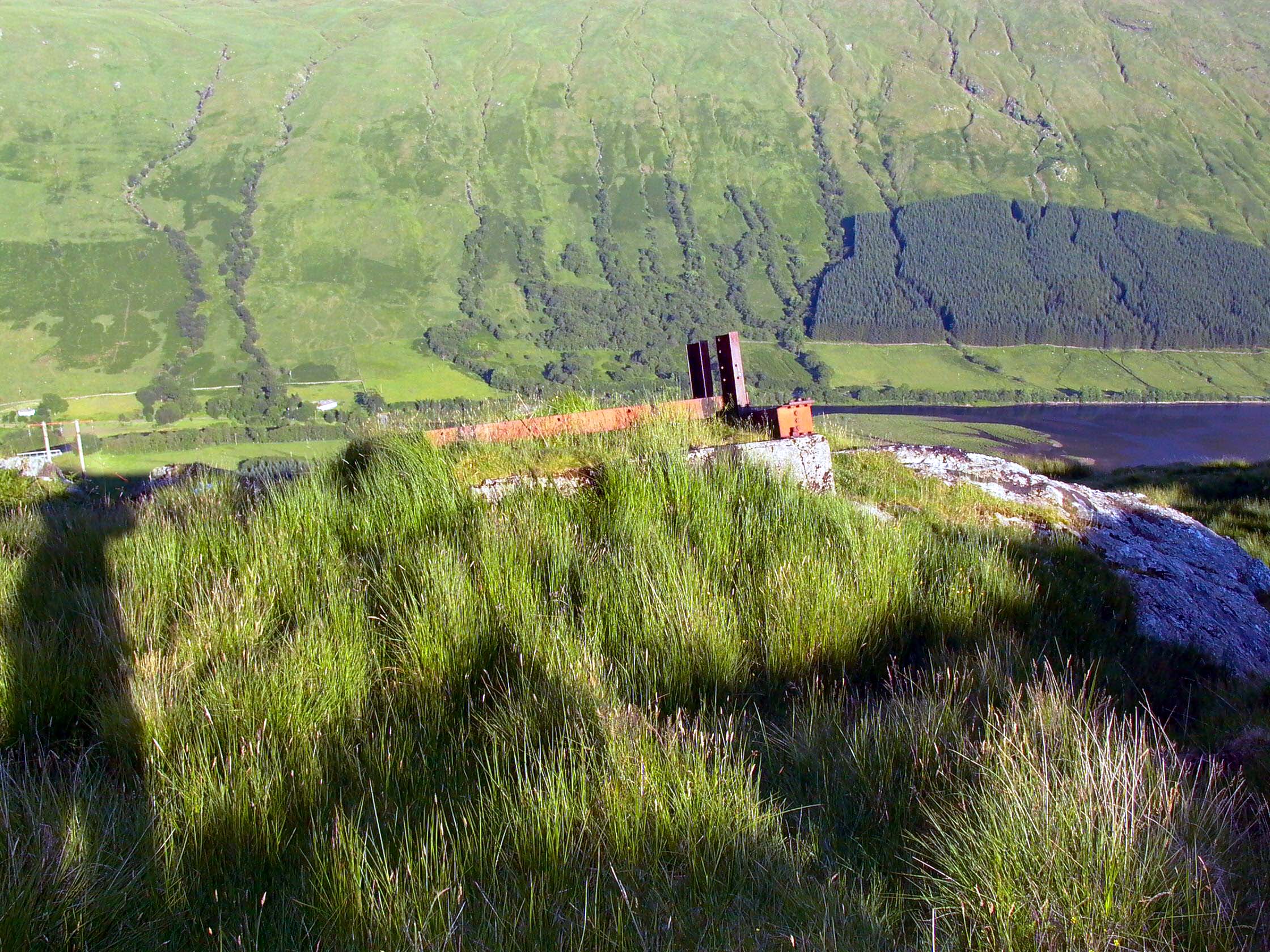
Photo by: Mike Ross


Part of the winding gear is still visible near to the surge pond:

Clachan inclined railway - winding gear

Photo: Clachan inclined railway - winding gear
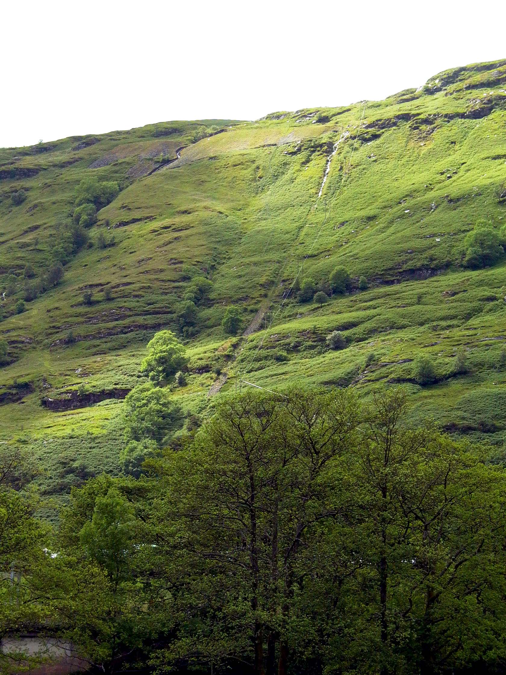
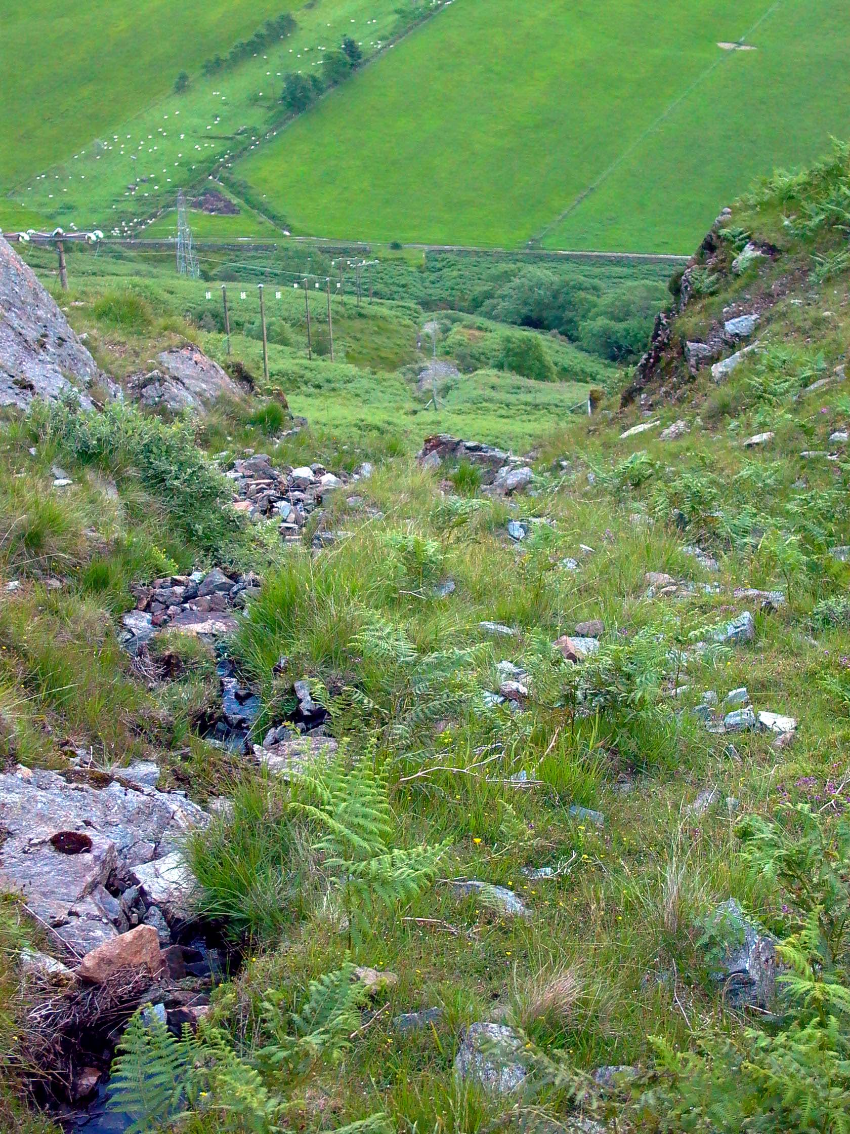
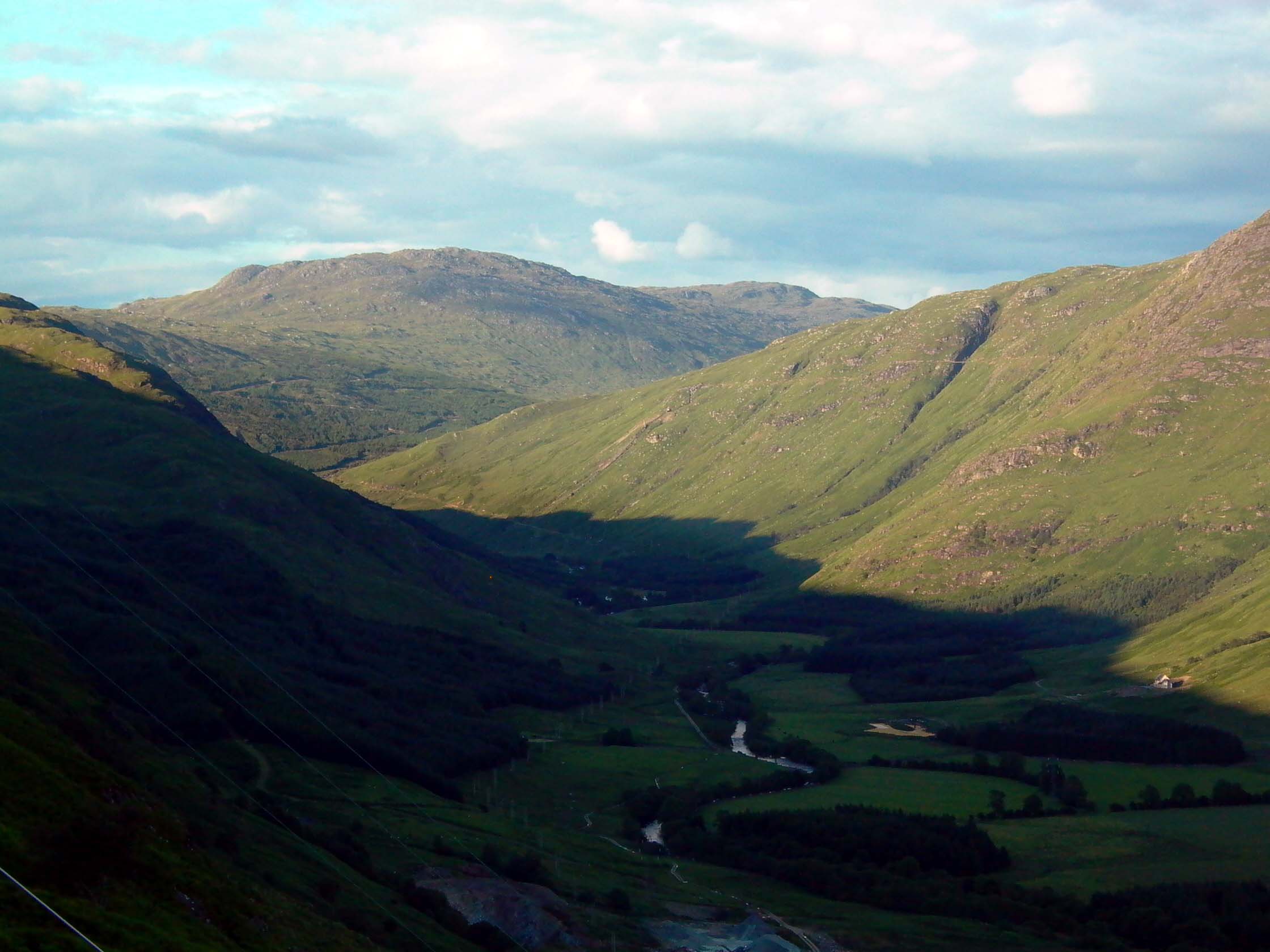
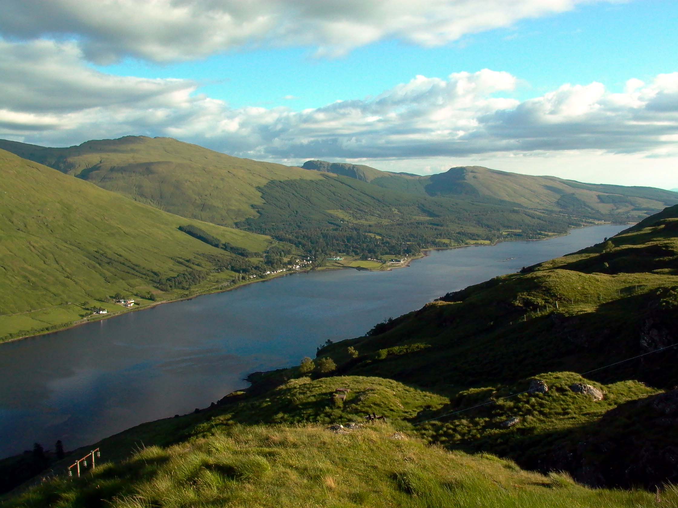
Photo by: Mike Ross


It's also possible to pick out the line of the railway as you look down from above:

Clachan inclined railway - view from top

Photo: Clachan inclined railway - view from top
Photo by: Mike Ross


The surge pond, and the top of the railway, are nearly 1000' (330m) up, and the views are spectacular on a good day (not so common!):

Clachan inclined railway - view from top, looking up Glen Fyne

Photo: Clachan - view from surge pond, looking up Glen Fyne
Photo by: Mike Ross

Clachan inclined railway - view from top, looking along Loch Fyne

Photo: Clachan - view from surge pond, looking along Loch Fyne
Photo by: Mike Ross

Home Page
Last updated 5th March 2003
Style © 1998-2001 Subterranea Britannica

Words and images © 2003 Michael J. Ross

Valid HTML 4.01!