Deanie Power Station

OS Grid Ref: NN 19210 13310(access tunnel portal)
Date opened: 1963
Date closed : Operational
Deanie, commissioned towards the end of 1963, was one of the last conventional
hydro stations to be built by the Hydro Board.
Deanie is an underground station, capacity 38MW. The Monar dam, the only
large arch dam to be built in the UK, is 520ft long and 123ft high. It
considerably enlarged Loch Monar. From an intake tower adjacent to the
dam, water is led by a tunnel, 29,000ft long and 15ft in diameter, to the
underground Deanie power station, operating under a head of 371ft. Loichel
dam, a mile or so from the main Monar dam, is a much smaller structure
which serves to close an arm of Loch Monar. The supply of water is augmented
in several ways - there is an intake system which captures the waters of
the Uisge Misgeach and is taken by tunnel to Loch Monar (compensation water
is also supplied from this system). The flow in the Deanie tunnel itself
is augmented directly by three side-stream intakes which feed directly
to the tunnel via slope shafts, and a further aqueduct system captures
water from the North side of Glen Strathfarrar, and feeds it to the riser
of the surge shaft.
There are 70 images of Deanie in the Records, and 10 webpages. They may all be accessed via the drawing at the bottom of this
page, which is a clickable image map - click on the red text to see the
associated webpage, which will open in a new window.
Drilldown to high-resolution imagery IS available online for this site
- click on any image, a high-resolution version will open in a new window
A short video sequence touring the machine hall and downstream surge chamber
exists but is not yet online.
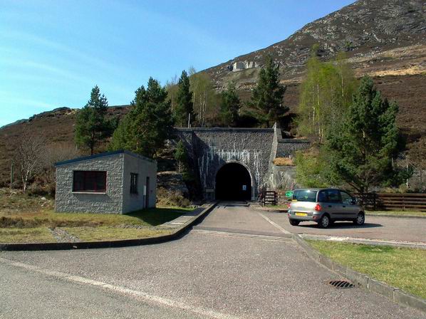
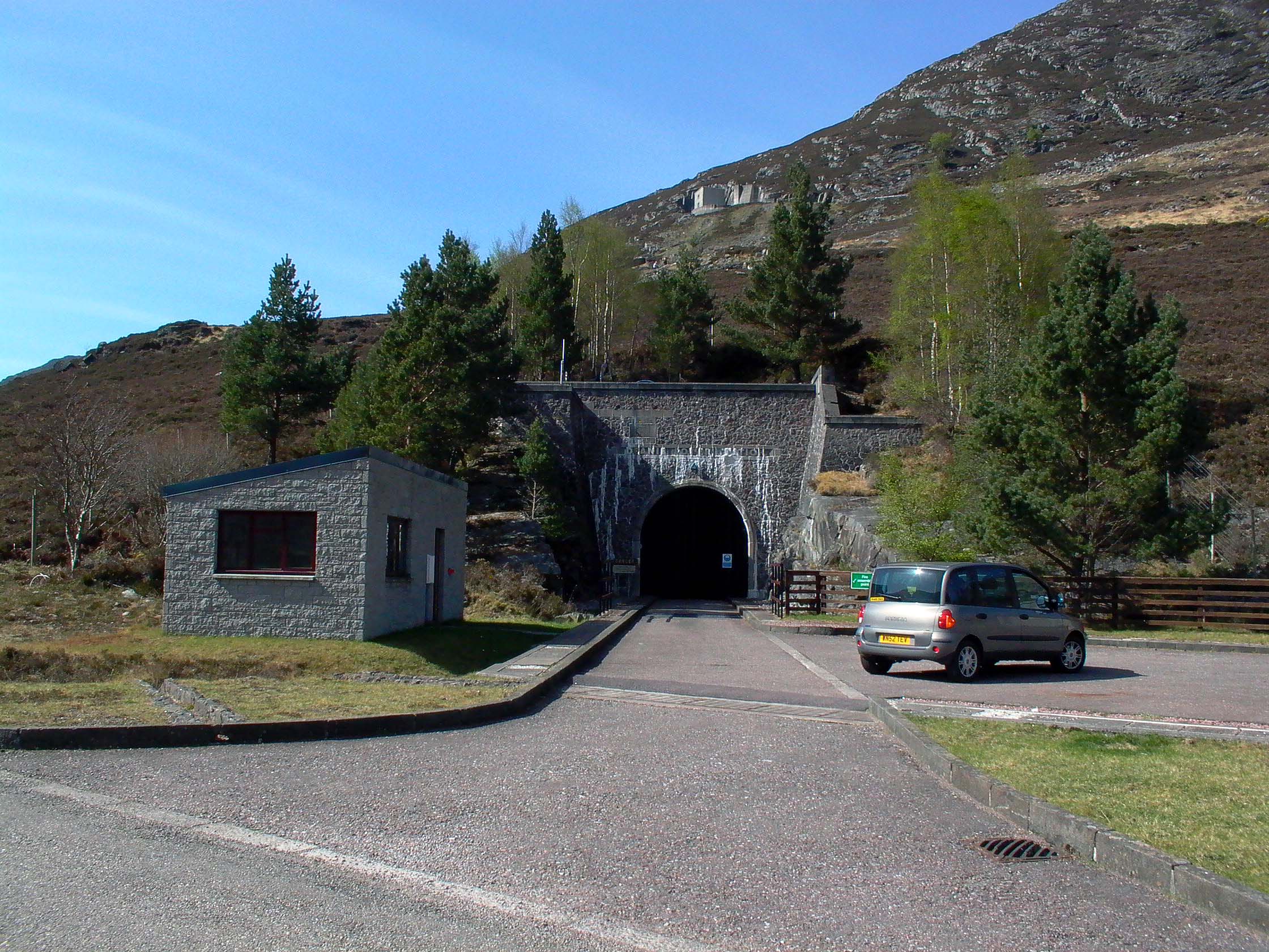
Photo: Deanie access tunnel portal
Photo by: Mike Ross

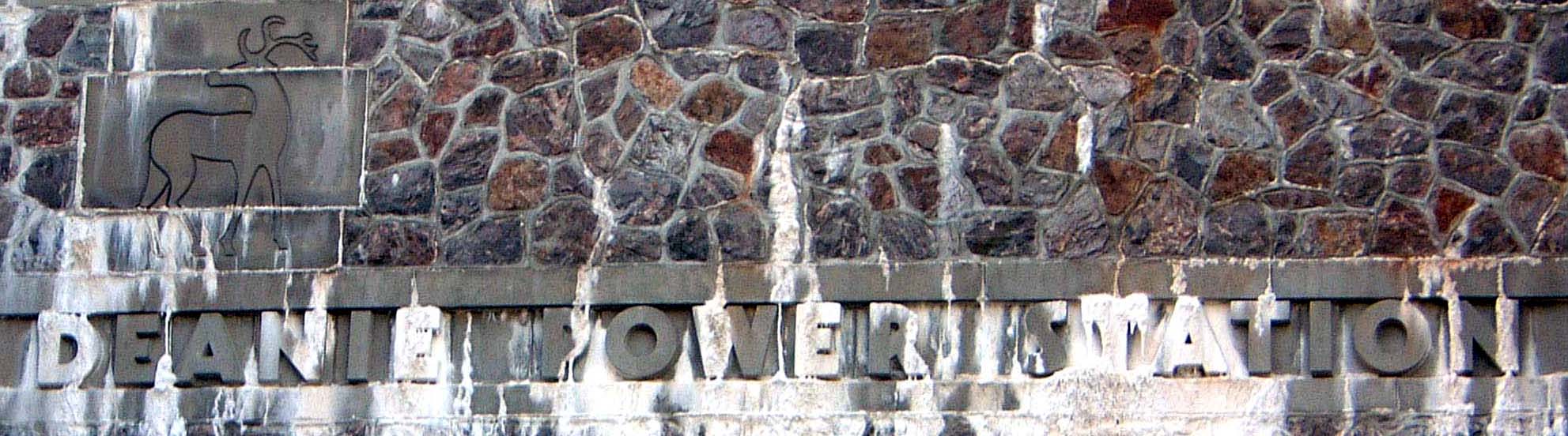
Photo: Deanie - Stag logo and station name above access tunnel portal
Photo by: Mike Ross
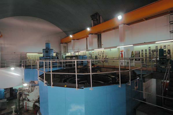
Photo: Deanie power station - interior
Photo by: Mike Ross

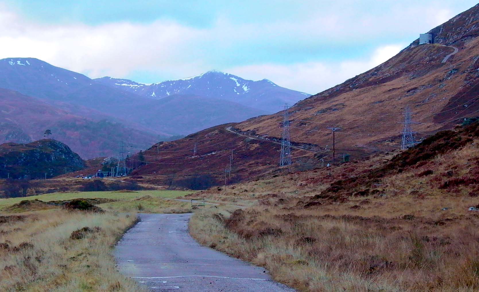
Photo: Deanie - general view from Loch Beannachran
Photo by: Mike Ross
The map below is an imagemap - click on the area you wish to explore
(Clickable areas are the red text)
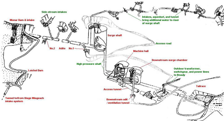 . .
Illustration by: adapted by Mike Ross from his photo of a NOSHEB drawing
Home Page
Last updated 23rd April 2003
Style © 1998-2001 Subterranea Britannica
Words and images © 2003 Michael J. Ross

|