The above is an image map, use it to navigate the site. Best viewed at 1280 x 1024 using any browser.
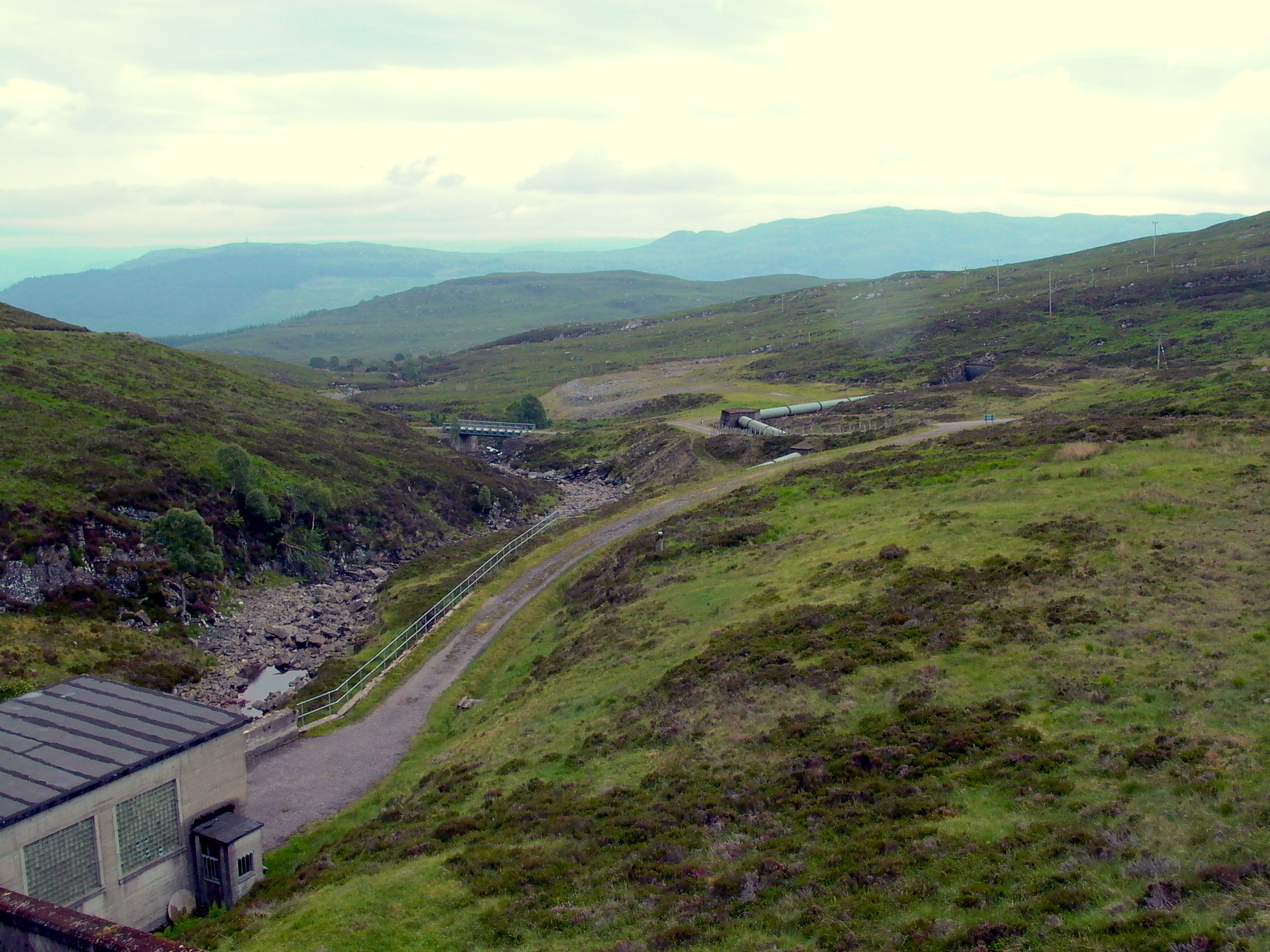
Livishie Power Station - The headworks
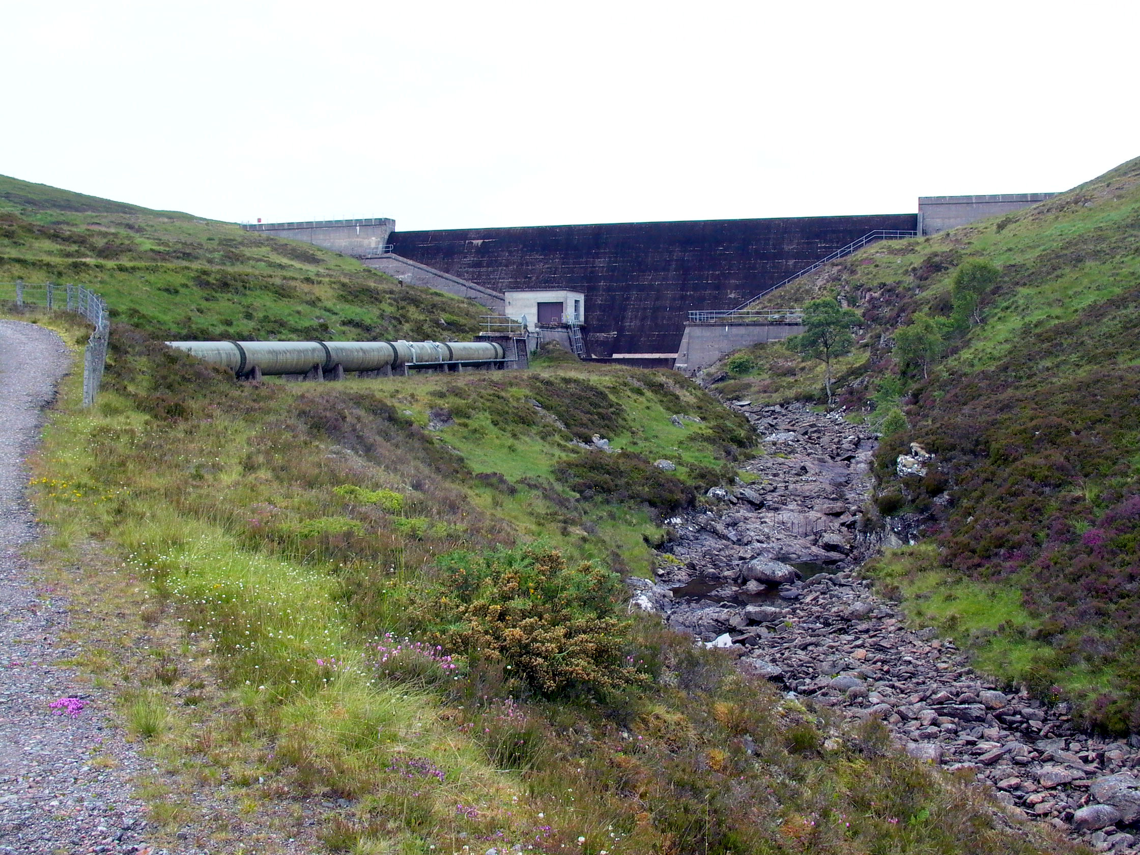
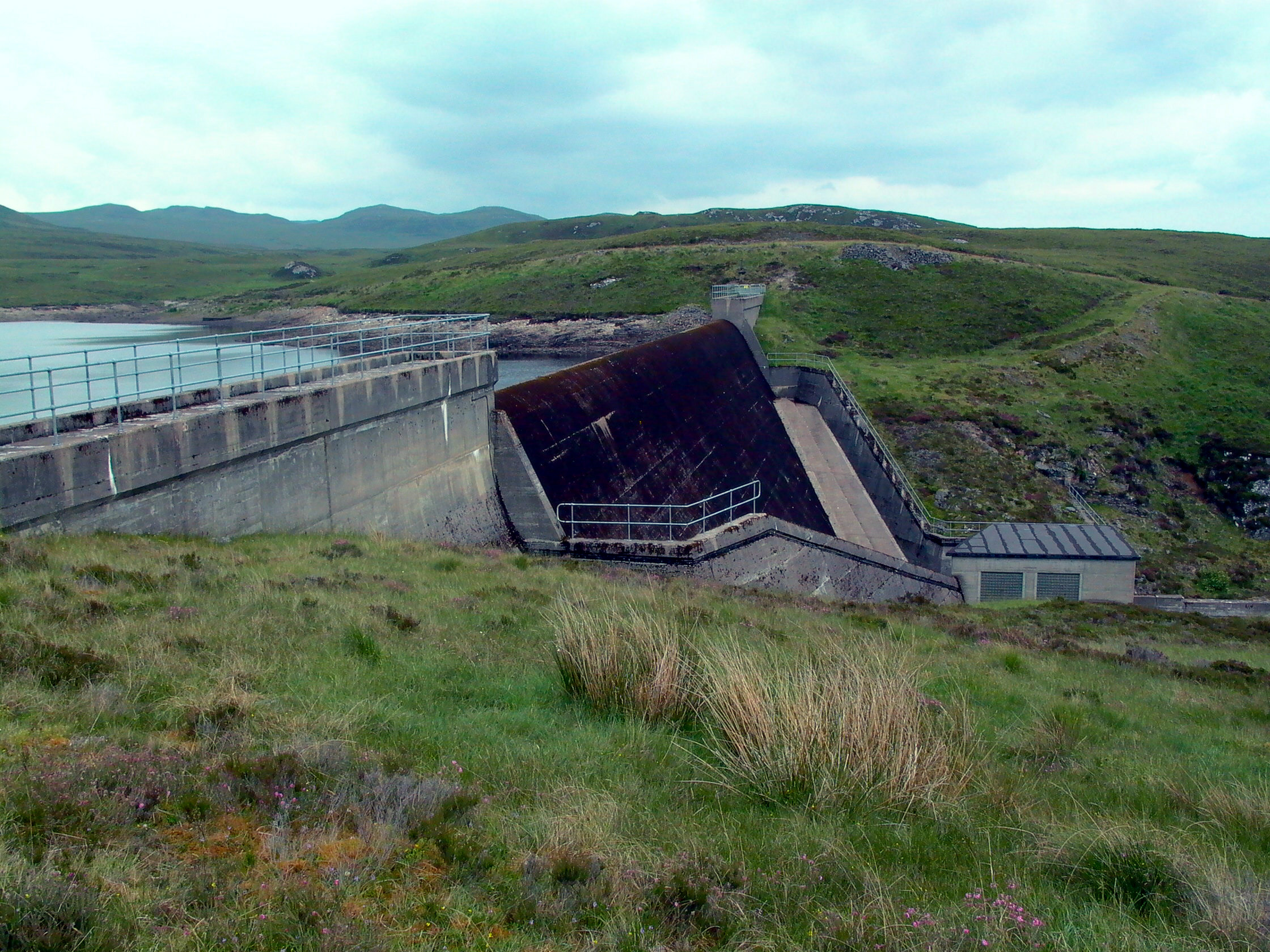
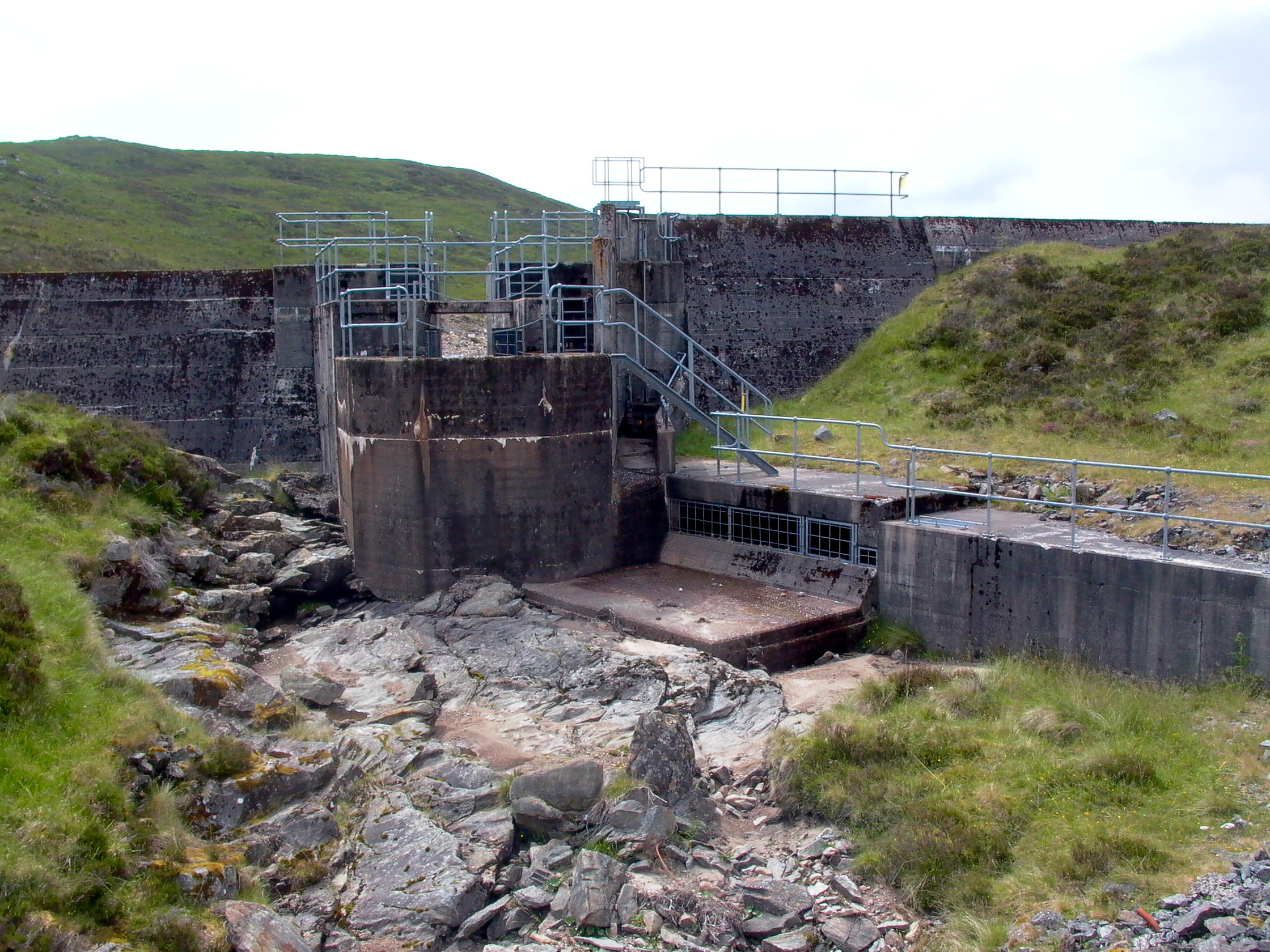
Photo by: Mike Ross Proceeding up the left-hand road, the first place we come to is the main
headpond at Bhlaraidh Dam. A modest dam, with a spillway along the top,
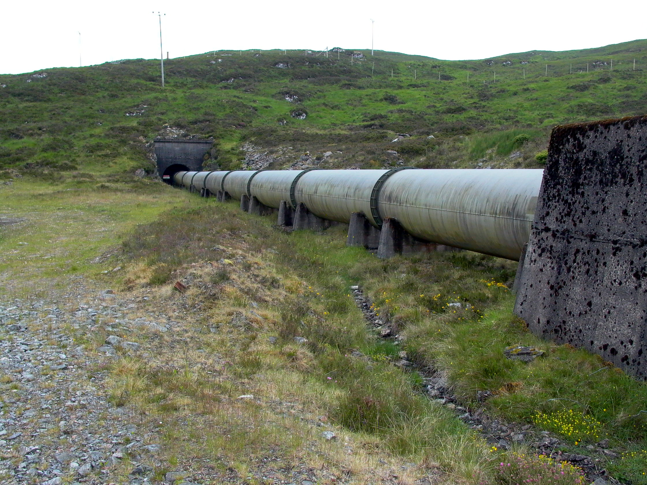
a valve house at the bottom, and a penstock emerging which is culverted
under the road: Photo by: Mike Ross The penstock only runs for a short distance before disappearing into a
tunnel; the water is taken by tunnel the rest of the way to Livishie power
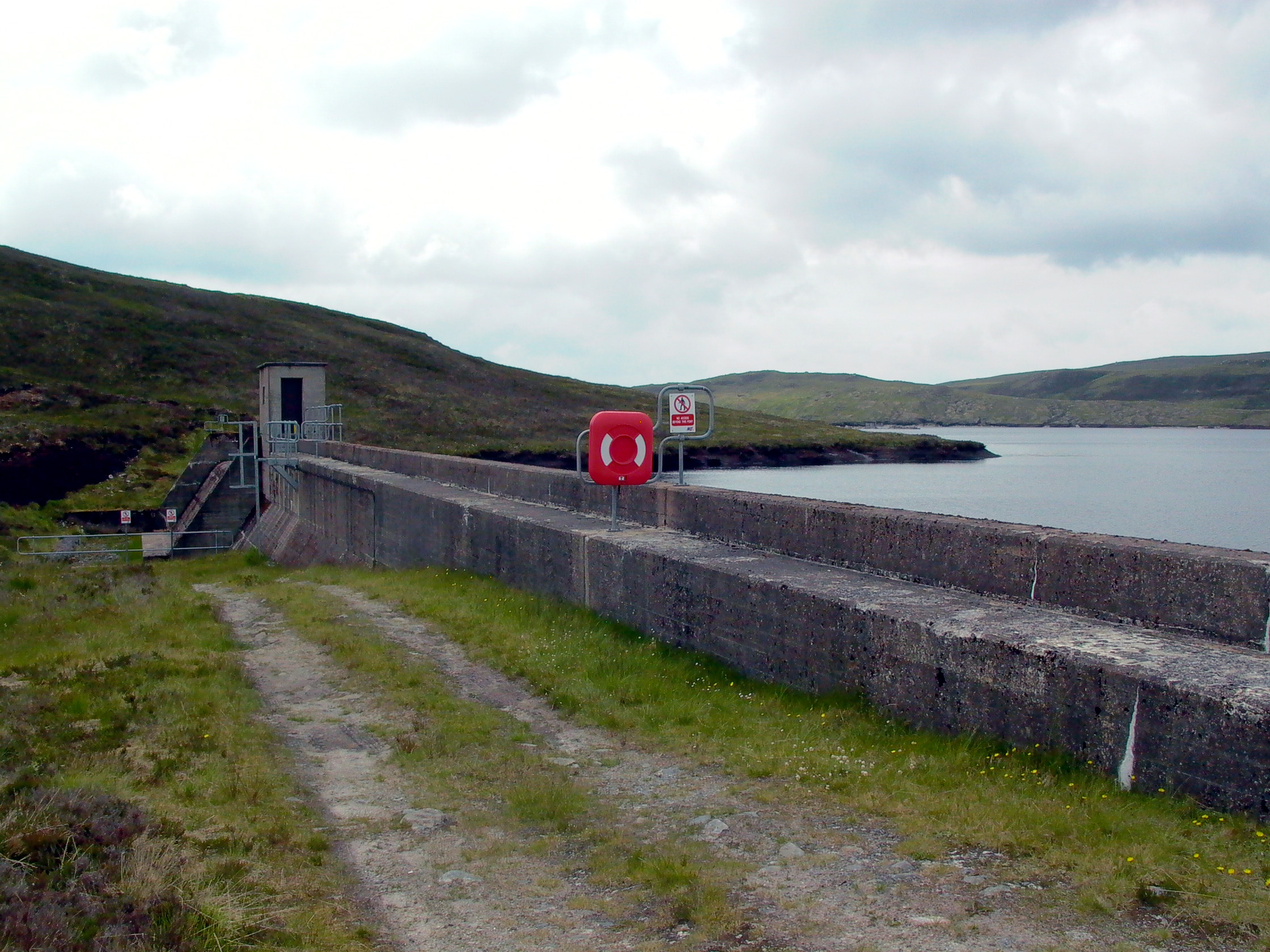
station: Photo by: Mike Ross As I said, a modest dam with only a small reservoir behind it: Photo by: Mike Ross The view from the top of the dam - valve house, penstock, tunnel entrance,
and the road disappearing down to Glen Moriston in the distance: Photo by: Mike Ross Driving along above the reservoir, on the far bank you can see the 'cutting'
where the water emerges from the tunnel - the tunnel which brings water
from the Eastern Saigh & Chrathaich sections of the headworks (tunnel
portal itself can't be seen from this viewpoint - it's 'round the bend'
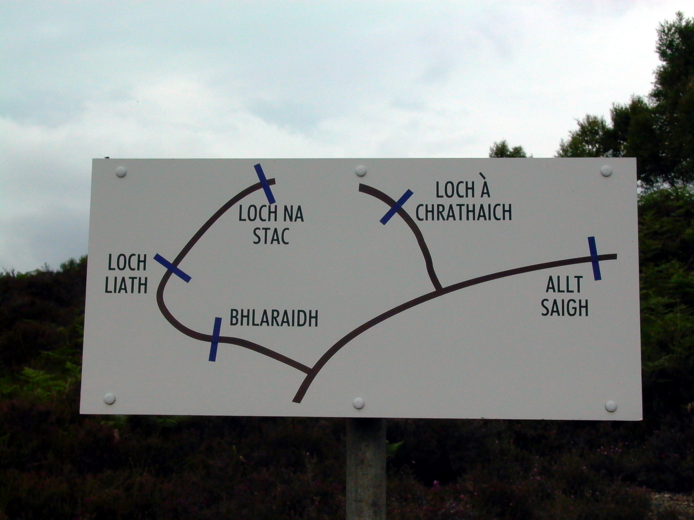
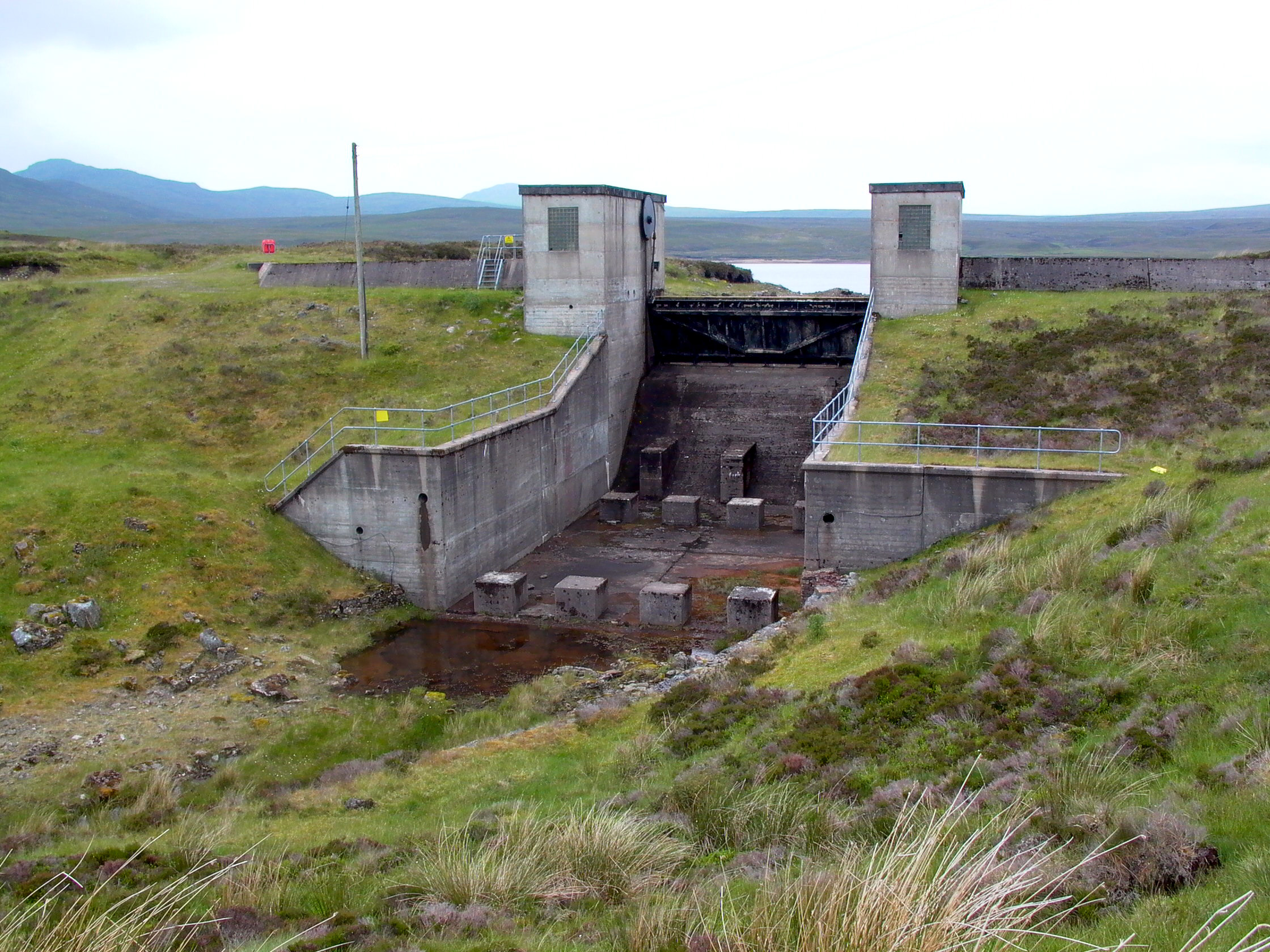
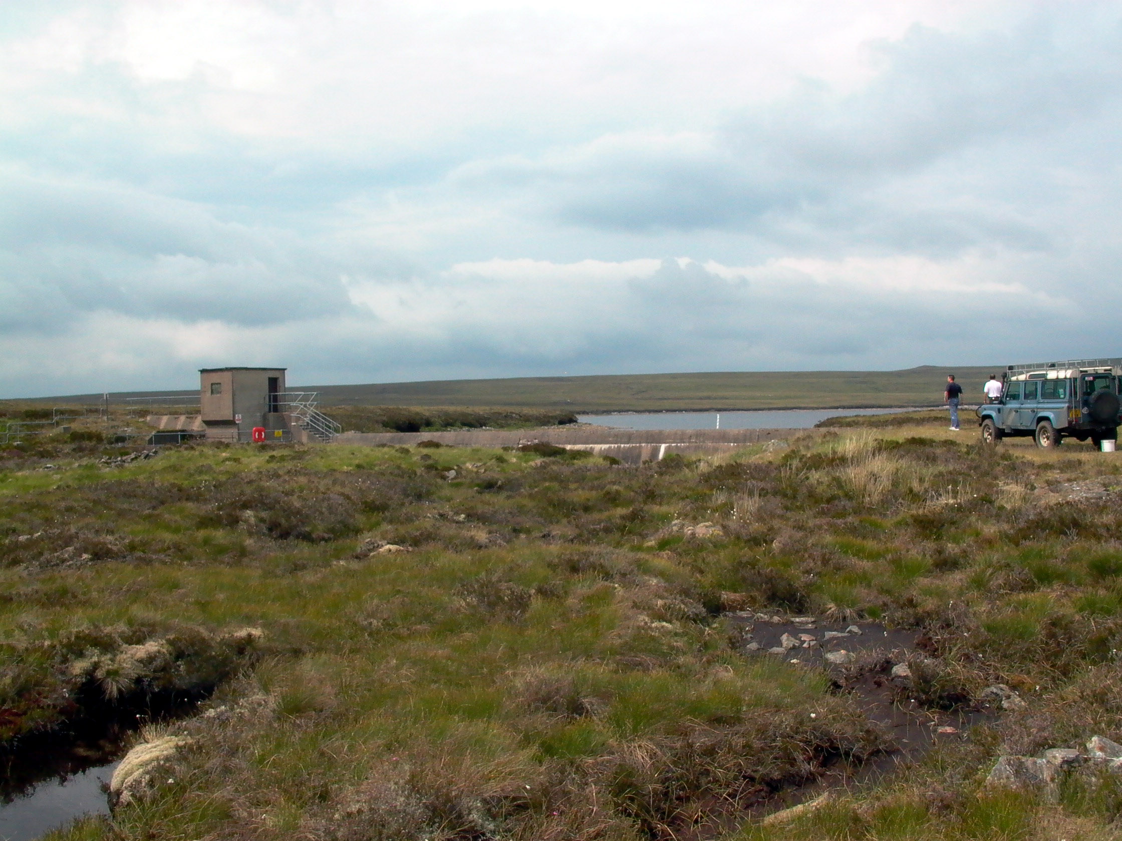
at the left end of the cut): Photo by: Mike Ross Referring to the map above, you'll see we next come to Liath dam. This
is an even more trivial structure, with a simple flap gate to control water
flow. There's no tunnel or other works associated here - the water is released
as required by the flap gate, and allowed to flow down the natural watercourse
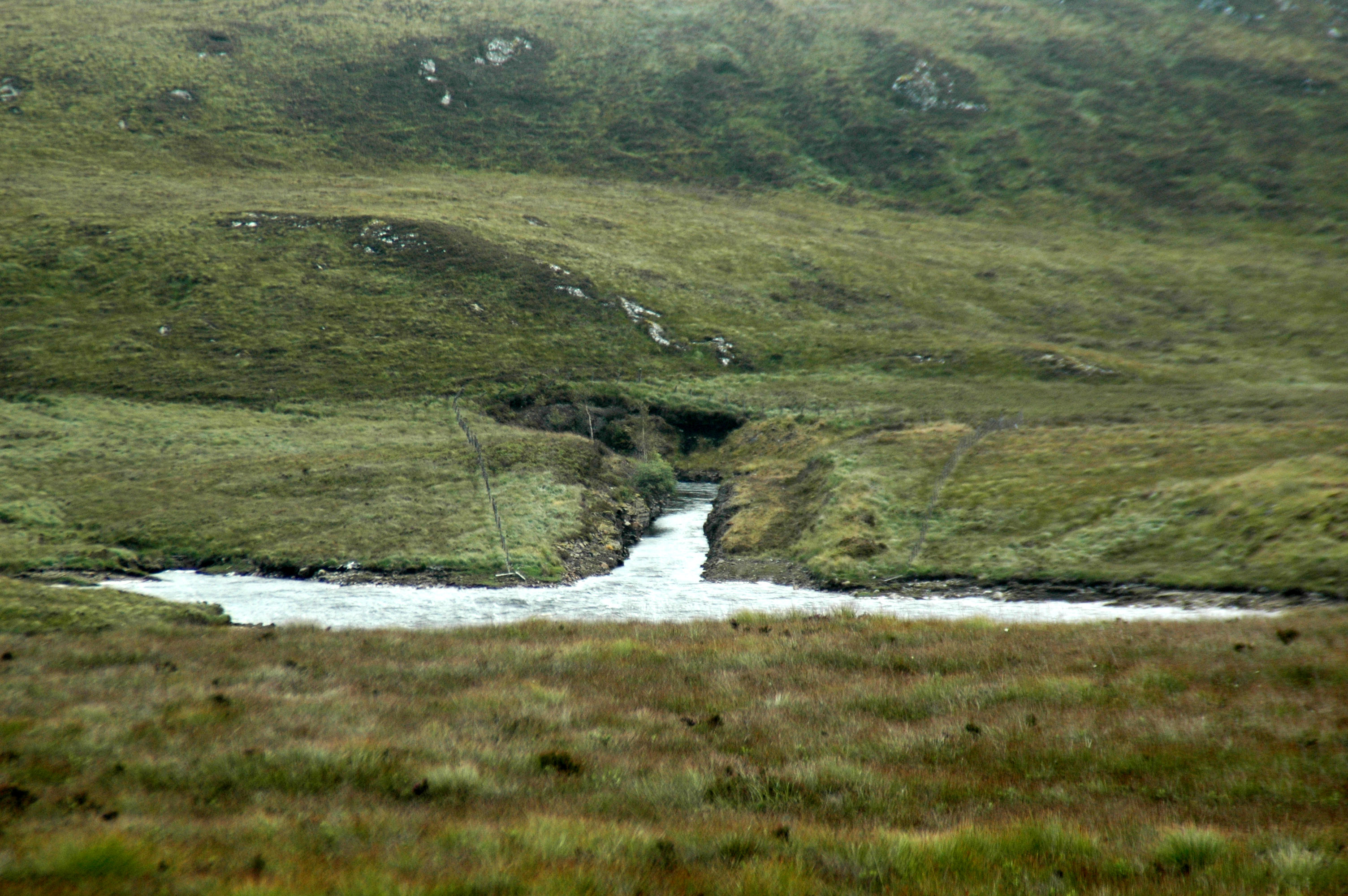
to Bhlaraidh: Following the road on from Liath dam, we reach a weary end at Stac dam,
possibly the most pathetic excuse for a dam I've ever seen: Photo by: Mike Ross Returning to the fork in the road (see map above) we take the Chrathaich
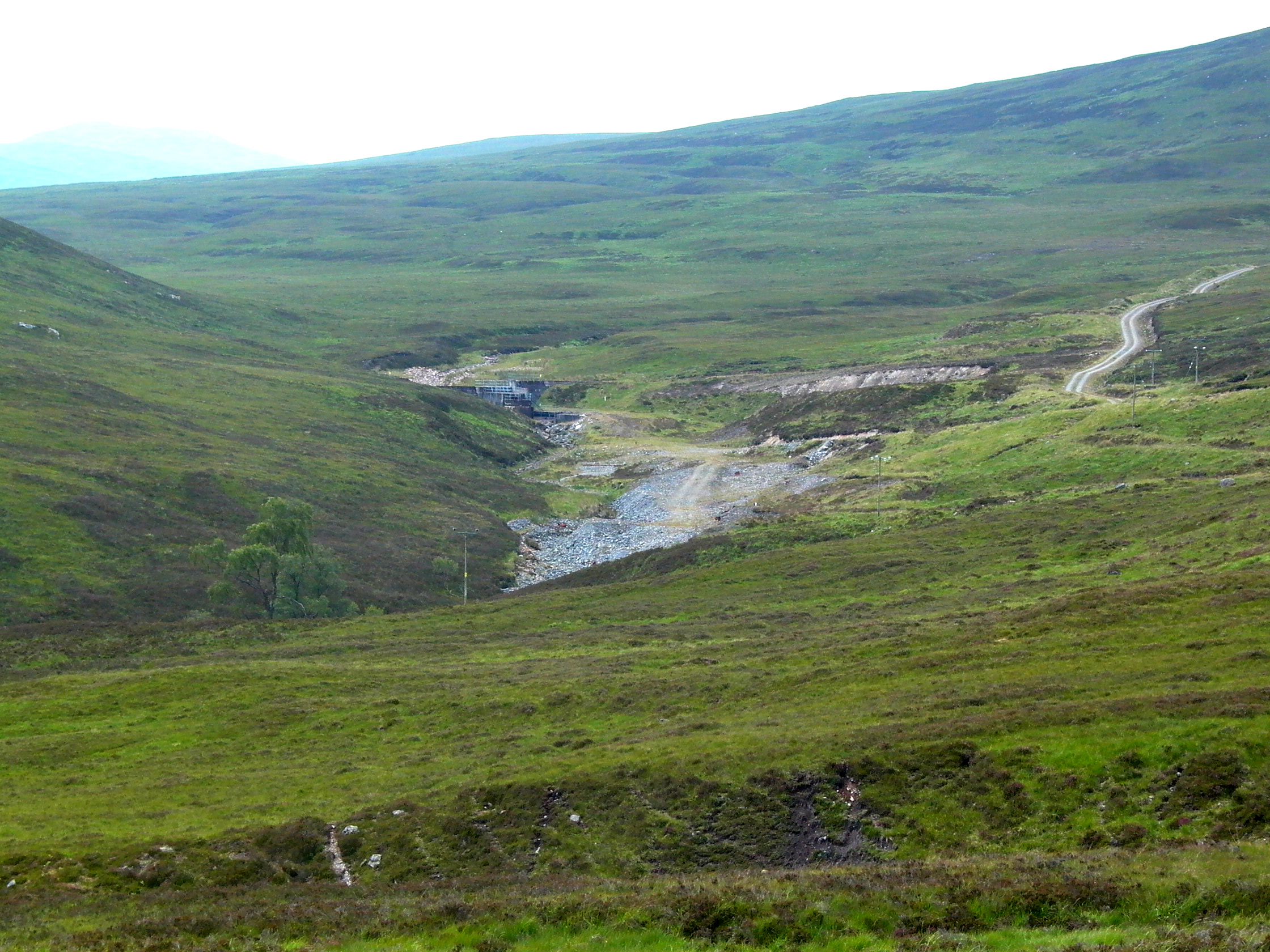
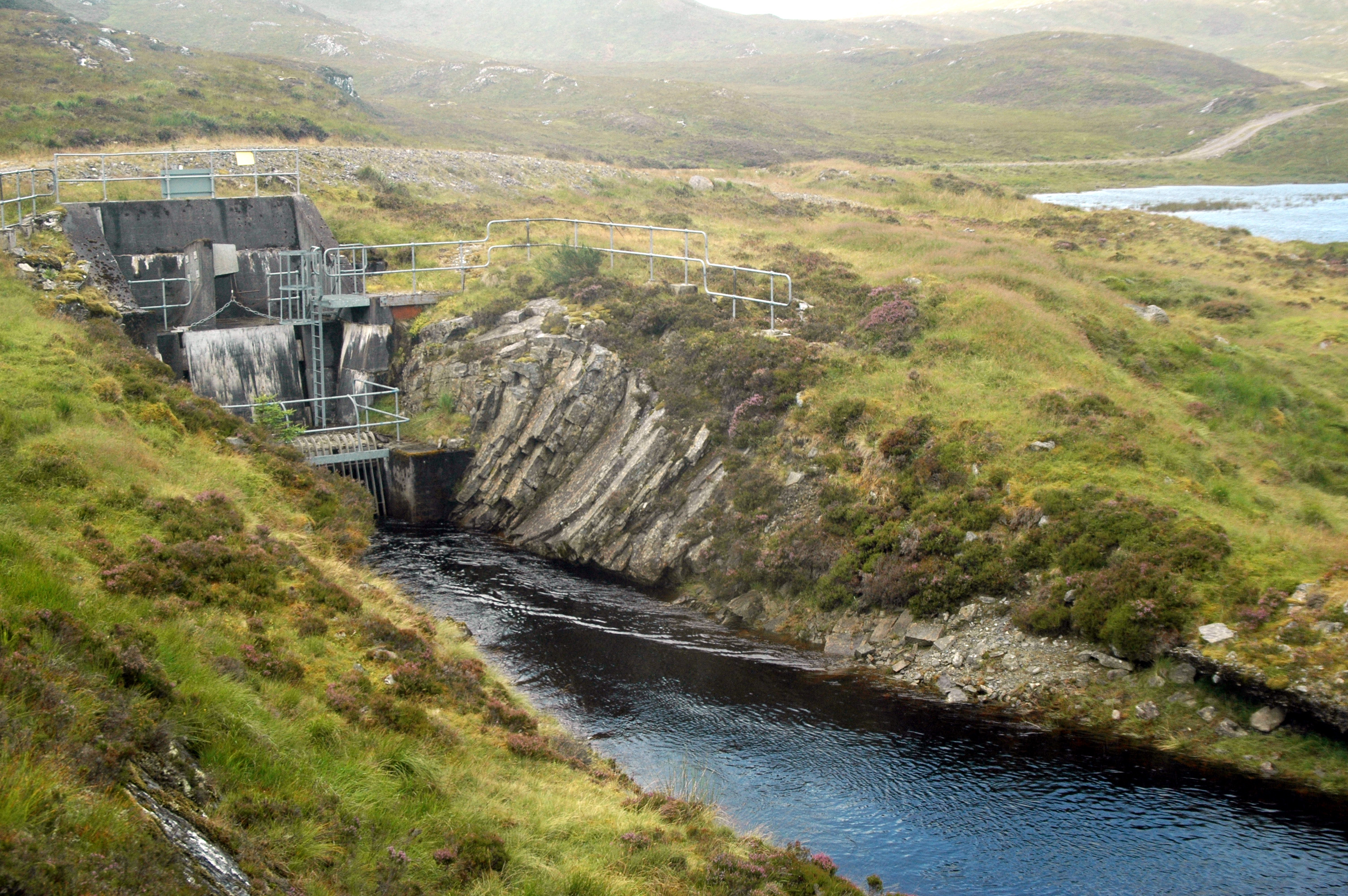
branch. On the way to Chrathaich dam, we pass a very obvious spoil heap,
and another intake: Photo by: Mike Ross The intake is a perfectly conventional scoop-type intake, the water falling
through screens in the side of the scoop and being led to the aqueduct
running off to the right of the picture, which leads the water into the
tunnel from the Allt Saigh running below us: Photo by: Mike Ross Chrathaich dam, when reached, proves to be almost as 'impressive' a structure
as Stac dam (!). Once again there's no intake or tunnel here; the water,
when released, is simply allowed to run down the natural streambed to the
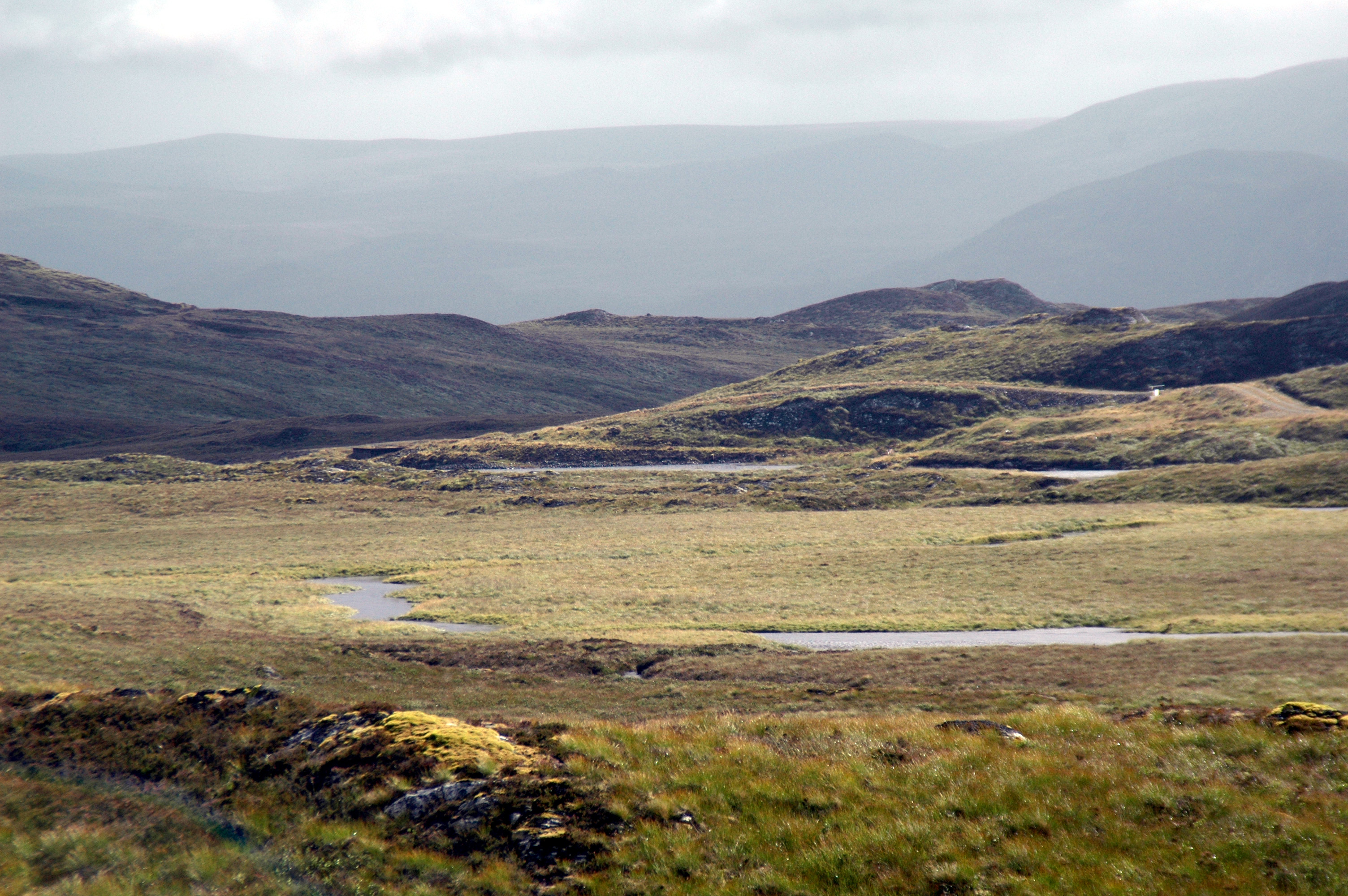
intake. Photo by: Mike Ross Driving back to the fork once again, we this time take the track to the
Allt Saigh. This is a road which seems to go on for ever, across the remote
hilly country above Loch Ness: Photo by: Mike Ross Finally we arrive - a couple of very small dams, a small loch, a big spoil
heap, and the intake of the tunnel which runs all the way from here back
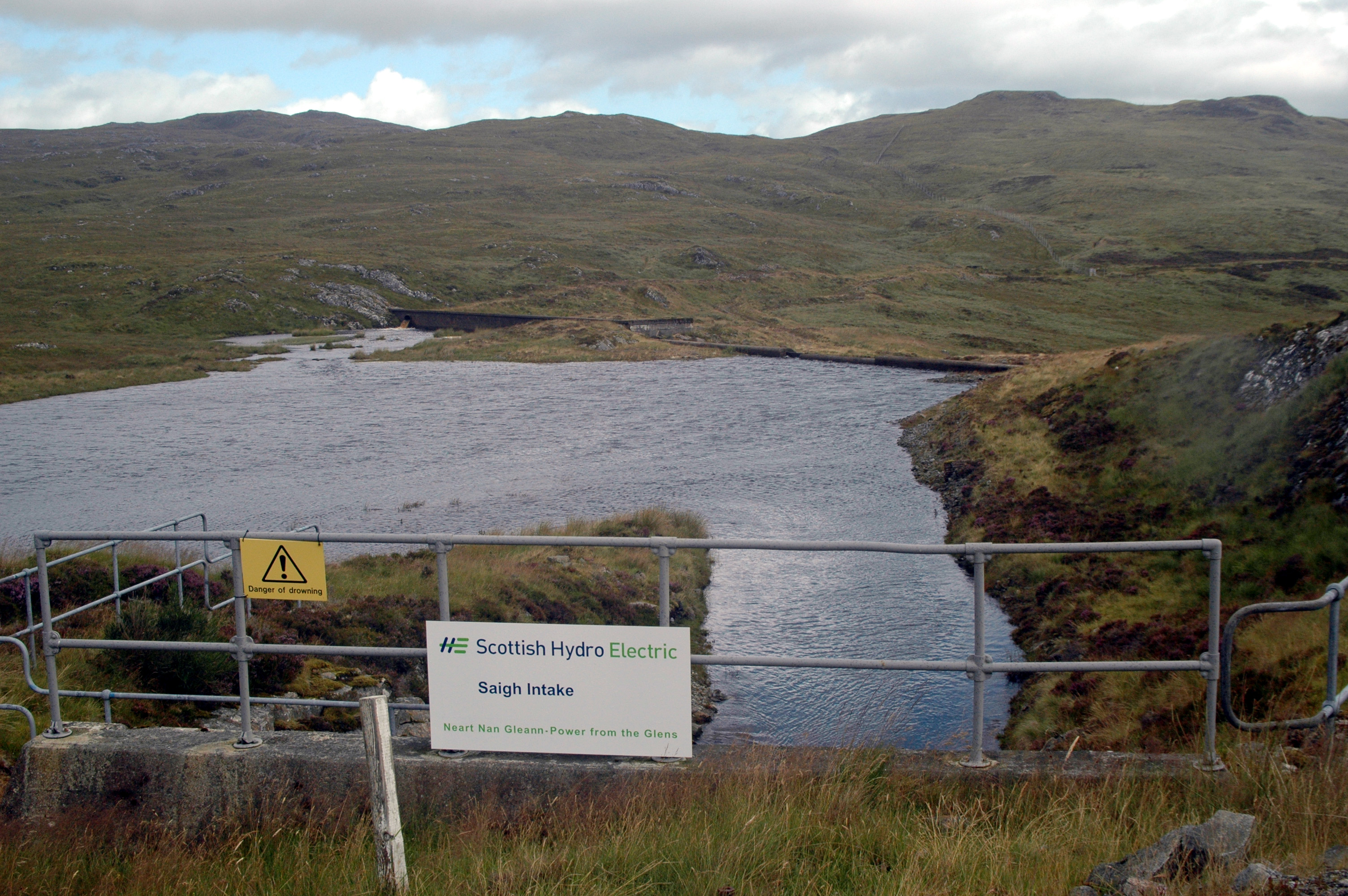
to where it discharges into the Bhlaraidh reservoir (see above): Photo by: Mike Ross Another view of the Saigh intake: Photo by: Mike Ross Home Page Last updated 15th November 2005 Style © 1998-2001 Subterranea Britannica Words and images © 2005 Michael J. Ross
|