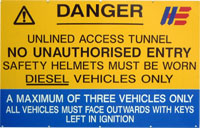
The above is an image map, use it to navigate the site. Best viewed at 1280 x 1024 using any browser.
Mullardoch Dam & Power Station
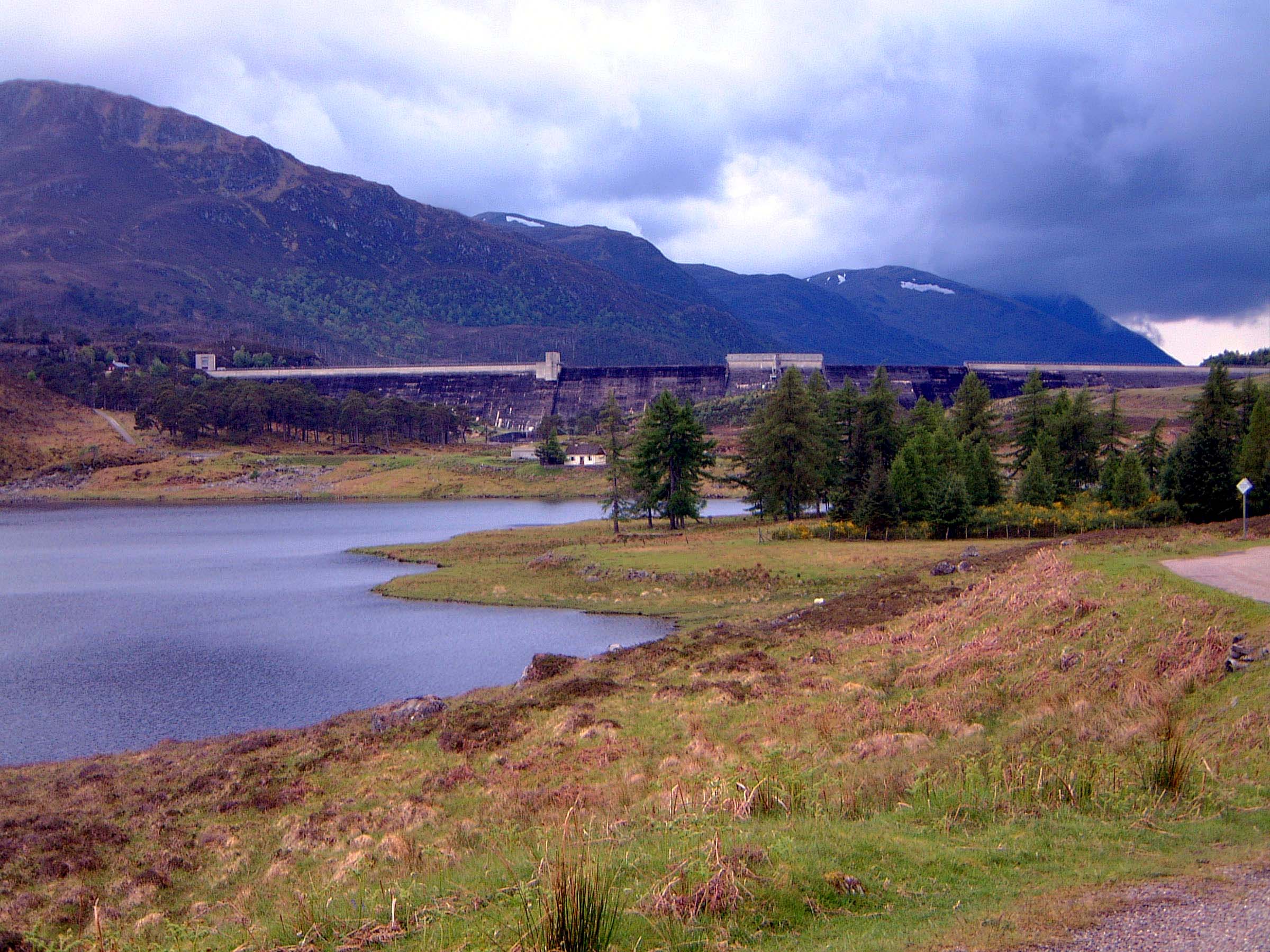
A view of Mullardoch dam from a mile or so down Glen Cannich. Note the two sections of spillway on the dam crest, and the gatehouse at the left end of the dam.
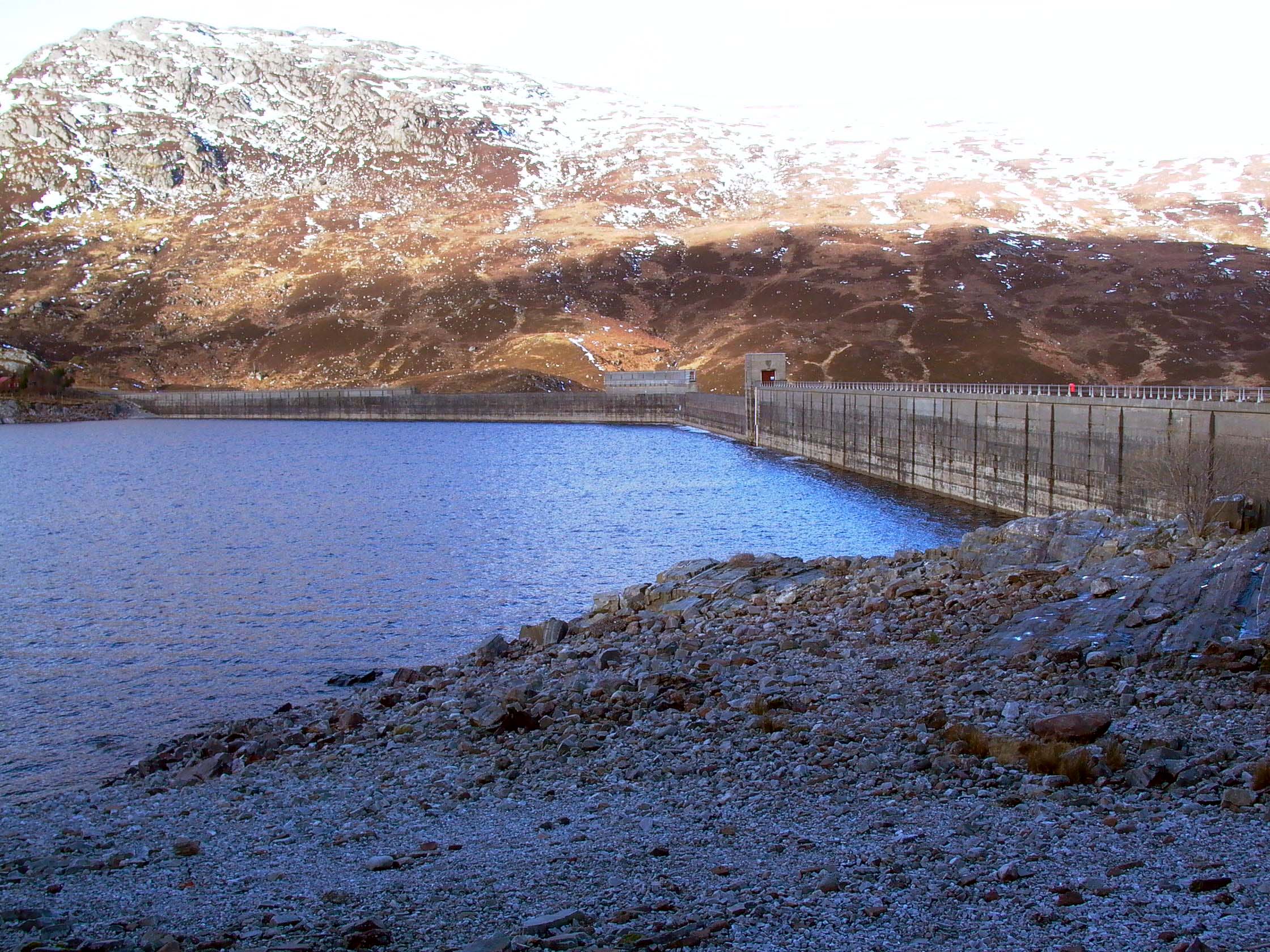
Photo by: Mike Ross Looking at the rear face of the dam, water level drawn down about 35 feet.
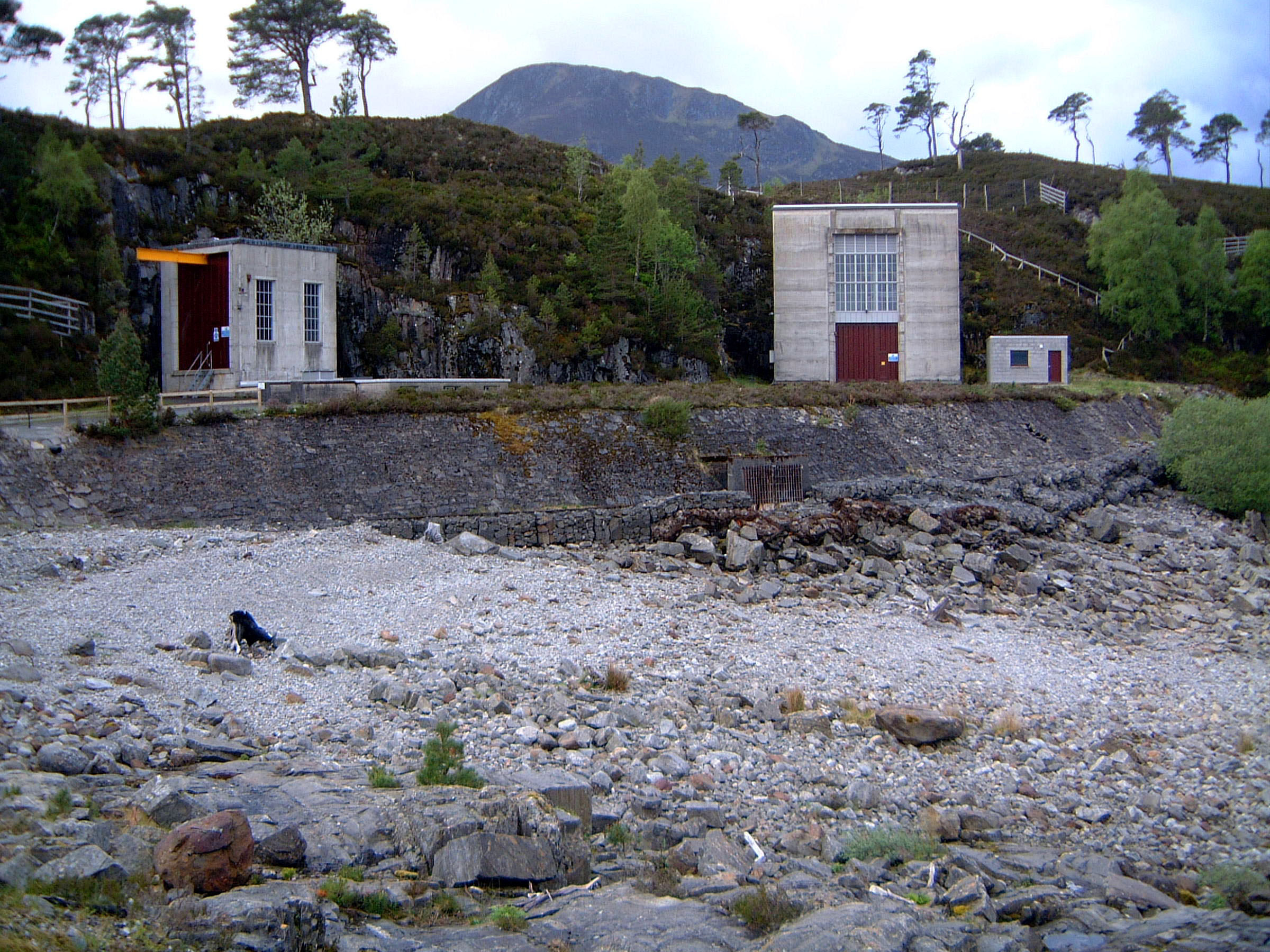
Photo by: Mike Ross Looking back across from the far side of the loch, rear face of the dam on the left, surface works of power station (left) and gatehouse (right) in the centre of the picture, with area of spoil (from the excavation of the power station shaft) on the shore of the loch - the tunnel intakes are under water. I've added some legend to clarify the relative depths of the intakes.
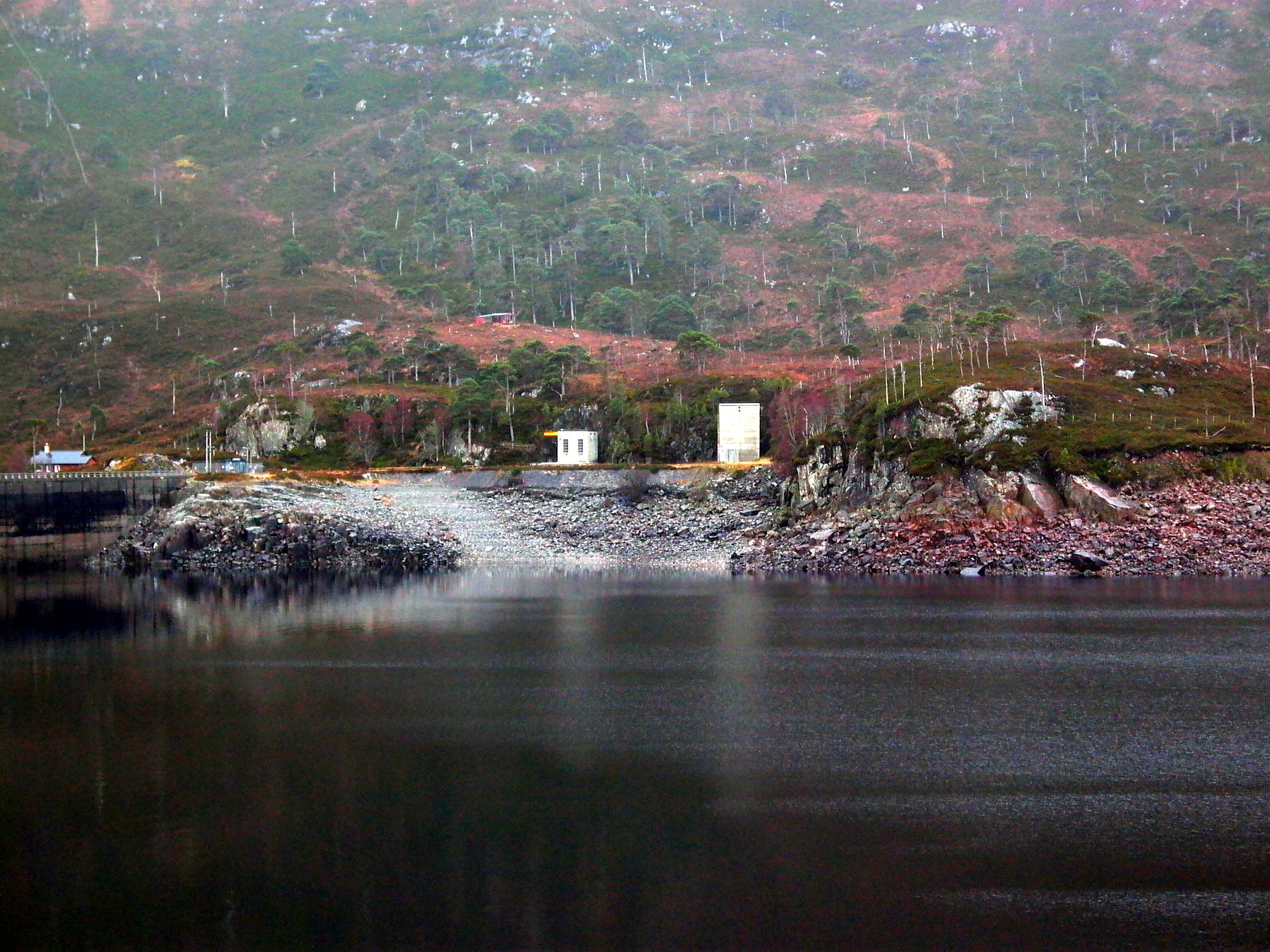
Photo by: Mike Ross Closeup of the power station surface buildings (left) and tunnel gatehouse (right). The screened opening at the bottom of the stone bank is the overflow pipe from the power station gateshaft.
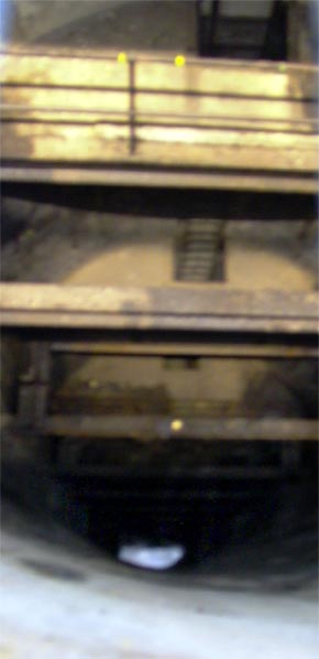
Photo by: Mike Ross Inside the gatehouse, looking down the gateshaft on the downstream side. The gate, as in this picture, is normally closed (since the water flows through the power station) - thus the water is a very long way down the shaft (about 100ft from the surface), as it is at the same level as the water in Loch Benevean. Apologies for the poor quality shot.
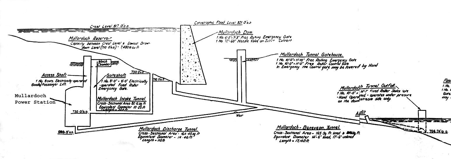
Photo by: Mike Ross This diagramatic representation of the Mullardoch-Benevean tunnel will make things clearer - the text is leglible on the full-size drawing (click on it to see this).
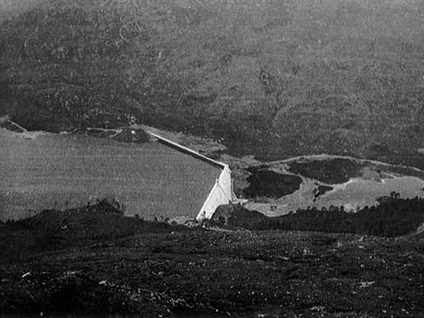
Photo by: Mike Ross Finally, an archive shot of Mullardoch dam taken shortly after it was completed.
Photo by: Unknown Home Page Last updated 8th May 2004 Style © 1998-2001 Subterranea Britannica Words and images © 2004 Michael J. Ross
|