The above is an image map, use it to navigate the site. Best viewed at 1280 x 1024 using any browser.
St. Fillans Power Station - Construction Adit
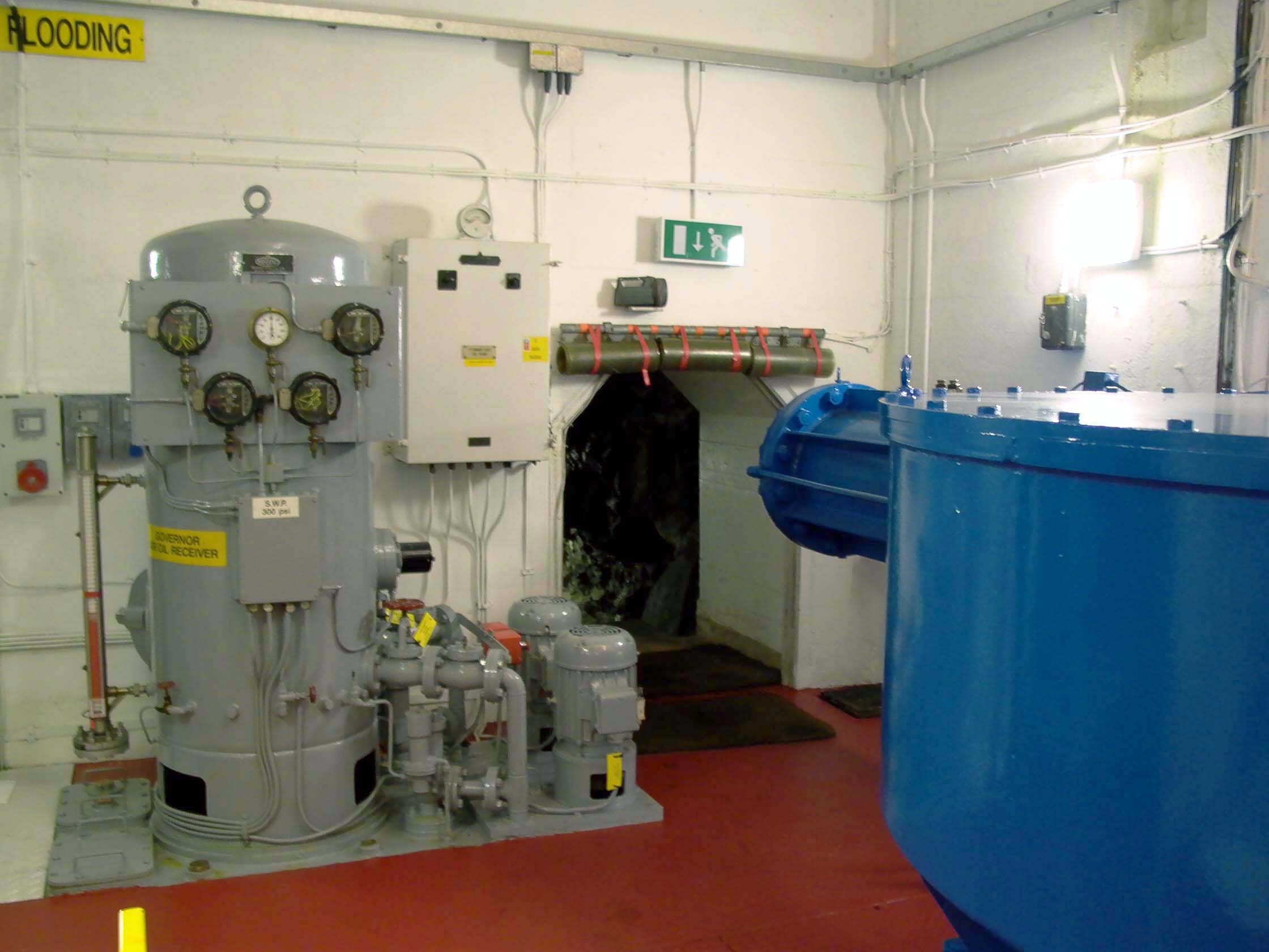
OS Grid Ref: NN 69045 2460 On the turbine floor in St. Fillans power station, beyond the MIV, there's
a low archway with a green 'EXIT' sign above it. This leads to the construction
adit, which still serves for ventilation, maintenance access to the high-pressure
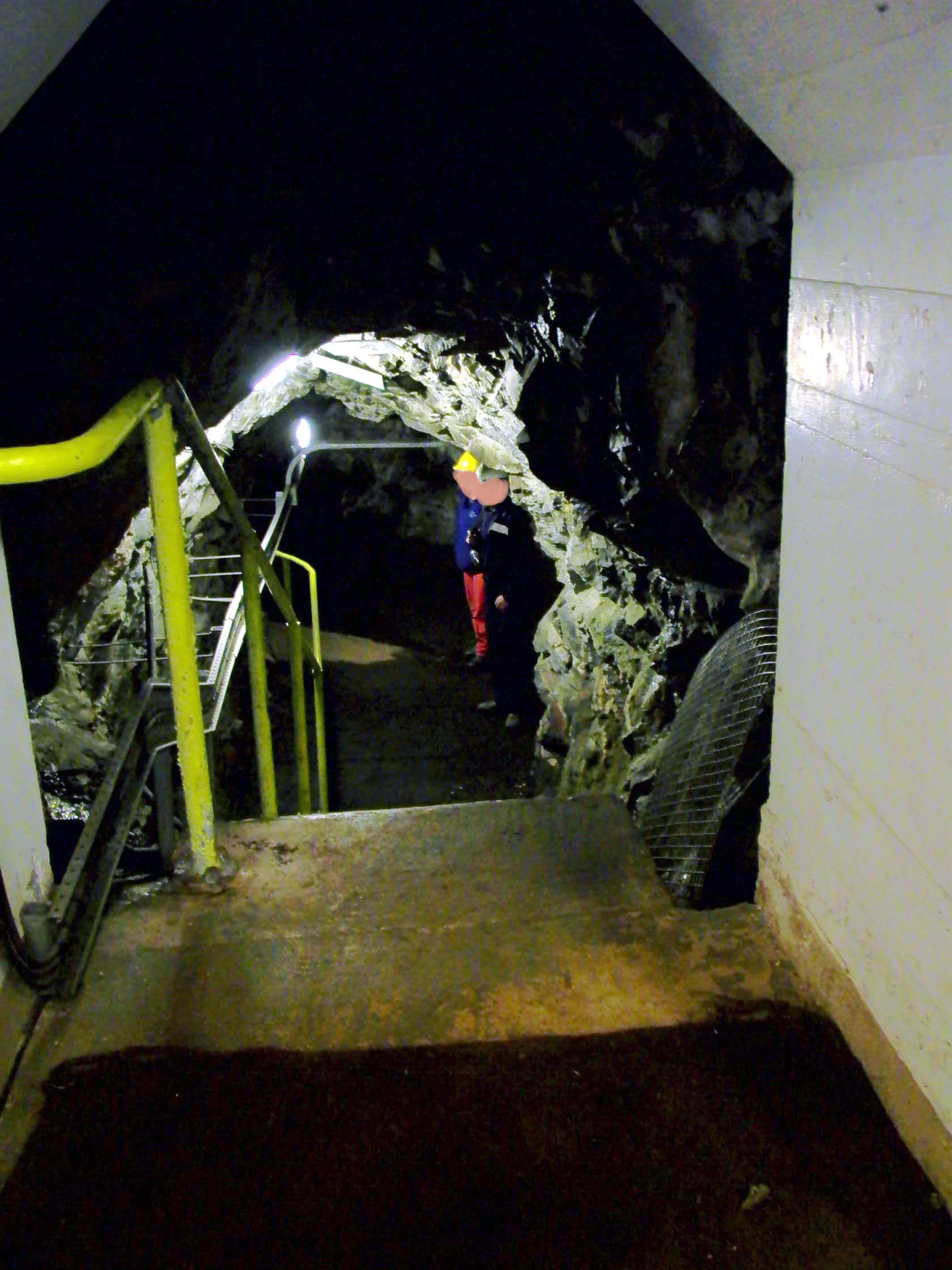
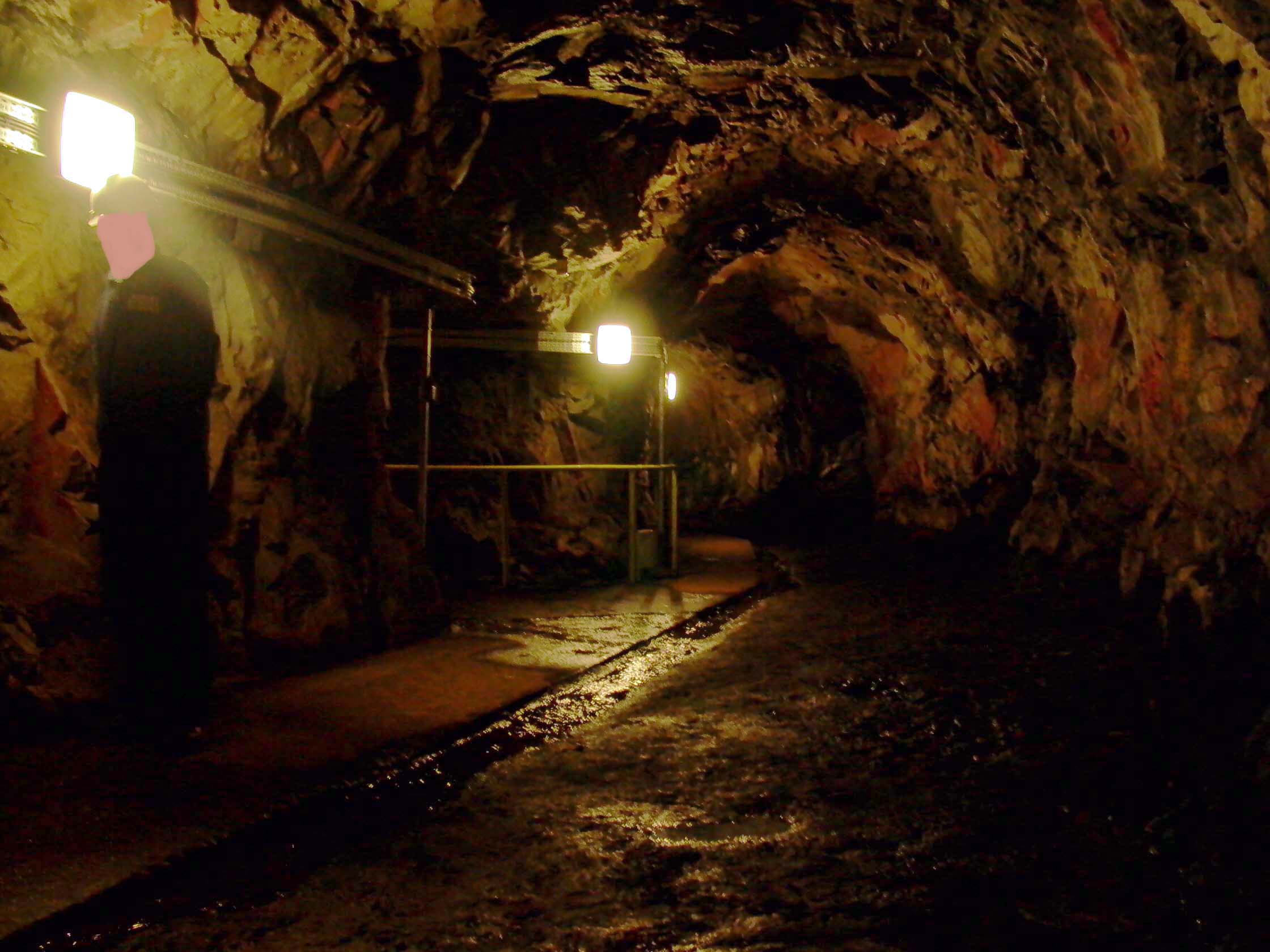
system - and as an emergency exit. Photo by: Mike Ross Looking through the archway reveals a short flight of steps in an unlined
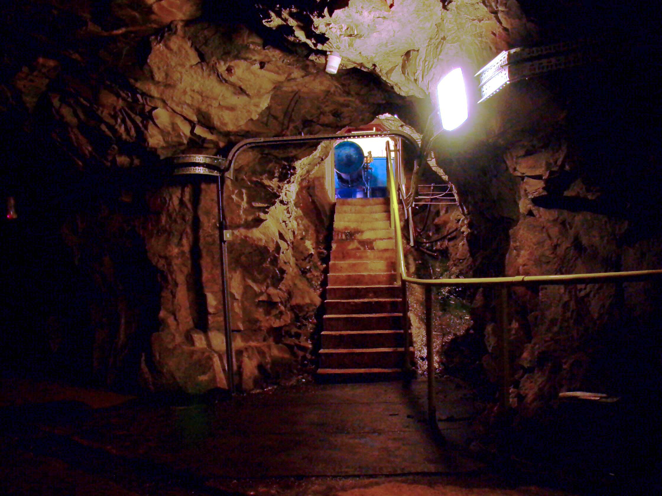
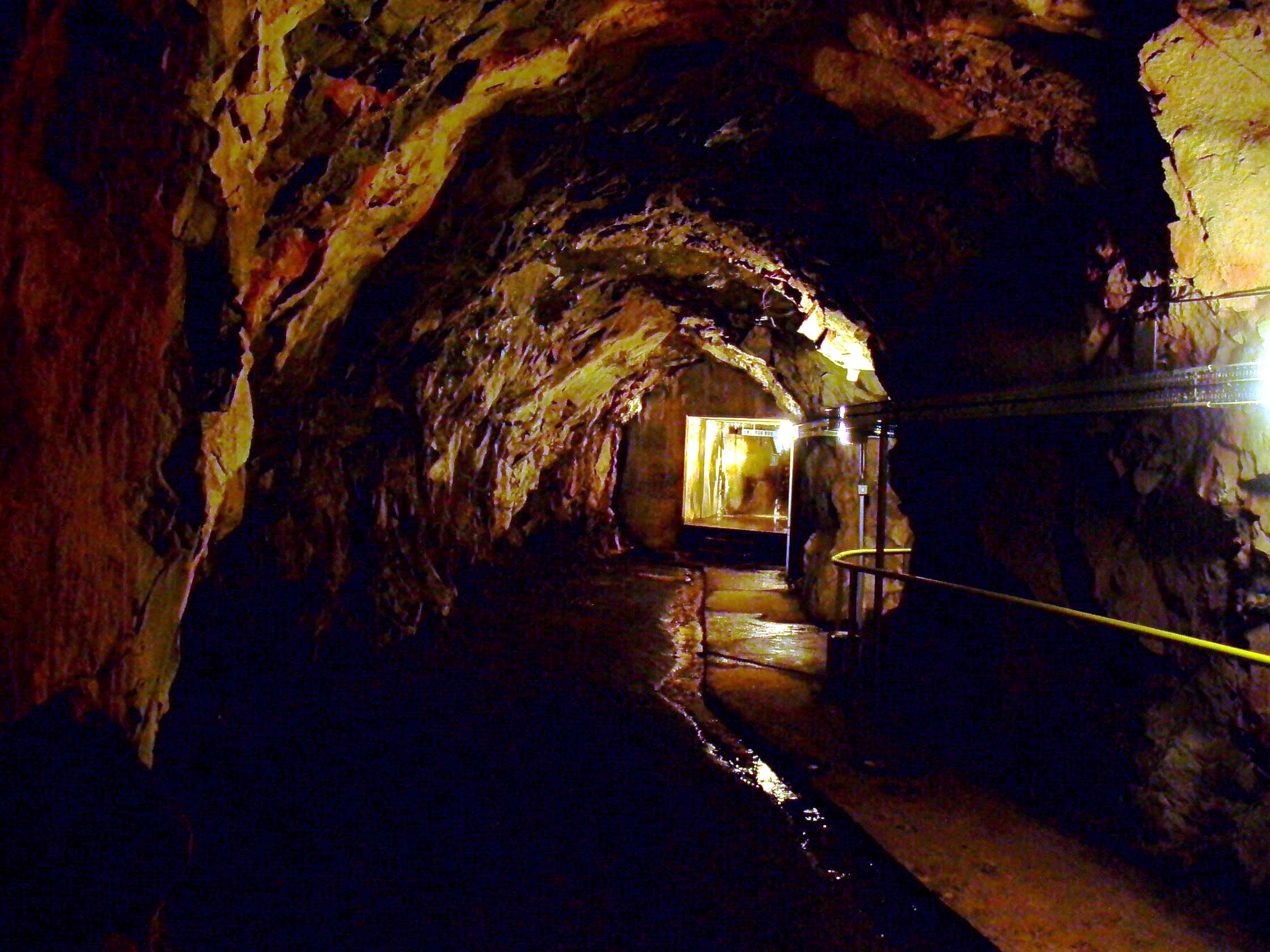
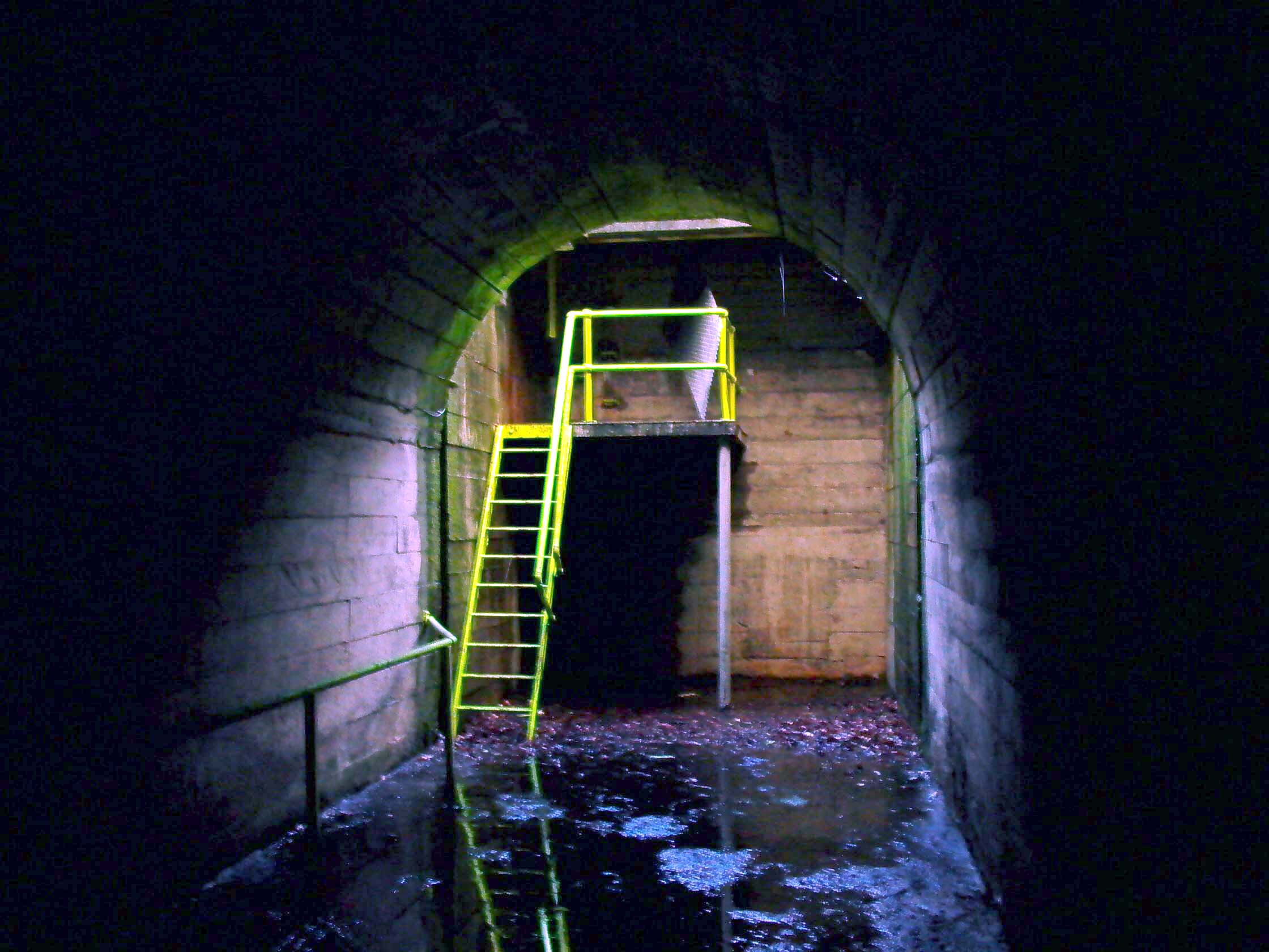
passage, ending up in a tunnel which runs from left to right: Photo by: Mike Ross Looking back up the steps from the tunnel - MIV clearly visible: Photo by: Mike Ross Descending the steps and turning right down the tunnel, it ends after only
a few yards - plugged with concrete. This was the original construction
access to the high-pressure shaft & tunnel which brings water to the
turbine: Photo by: Mike Ross It's not a complete dead end: a small tunnel continues into the concrete
plug, ending with a heavily-bolted circular cover over an access tube.
It's heavily bolted because it's holding back a head of 800ft of water
on the other side; this can be unbolted and removed to provide maintenance
access to the high-pressure system when it's dewatered: Photo by: Mike Ross Going back to the bottom of the stairs, if we turn left instead of right,
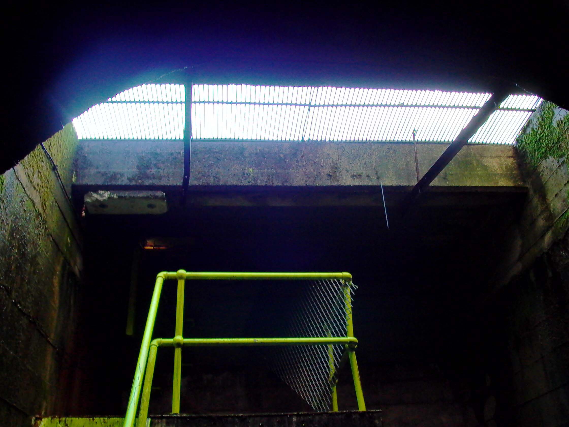
the tunnel continues round a bend to the left... Photo by: Mike Ross ...then runs out straight to where daylight can be seen: Photo by: Mike Ross Following the tunnel to daylight, it ends in a concrete wall - this would
origninally have opened up to the shoreline of Loch Earn, into which spoil
would have been tipped. Nowadays there's a short shaft... Photo by: Mike Ross ...with a grille letting daylight in, and a ladder up to a manhole. This
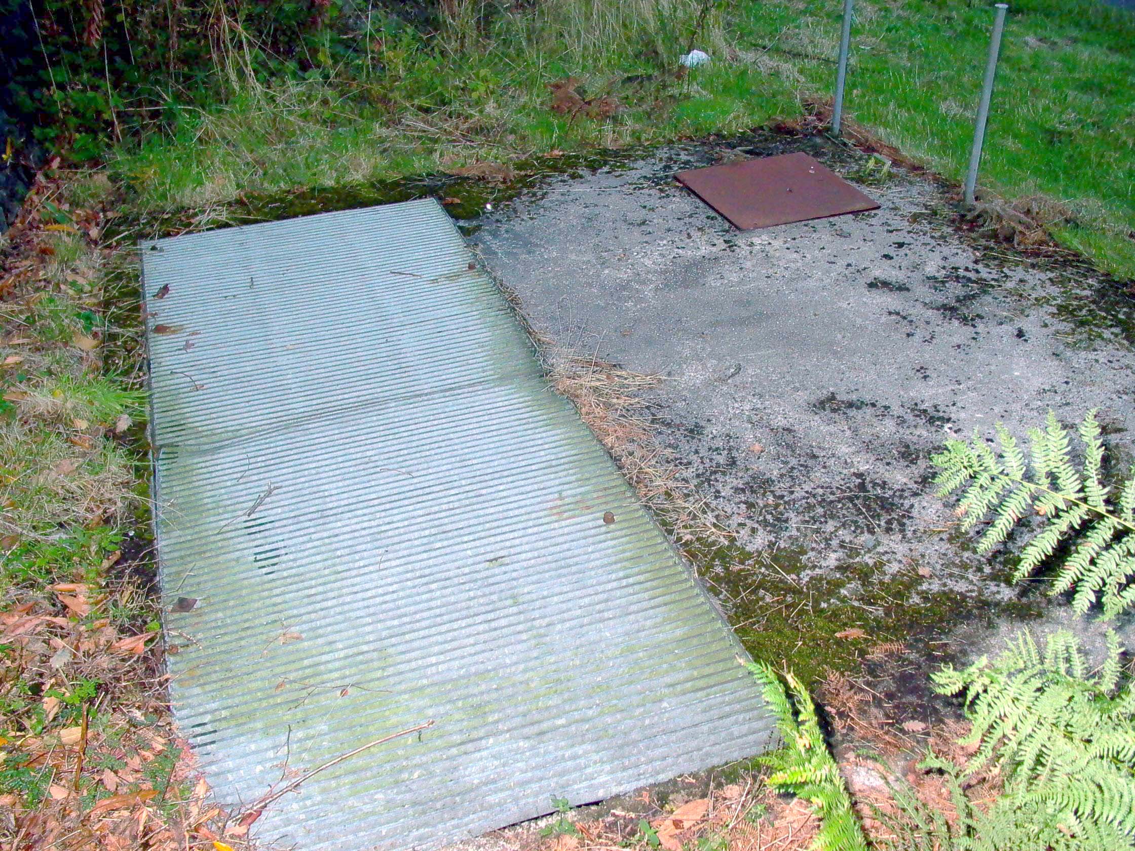
is the emergency escape route: Photo by: Mike Ross On the surface, an unremarkable grille and manhole right next to the A85
- there's a layby opposite. Photo by: Mike Ross Home Page Last updated 22th November 2005 Style © 1998-2001 Subterranea Britannica Words and images © 2005 Michael J. Ross
|